Line © OpenStreetMap contributors (ODbL), checked by Global Adventurer.
The walk
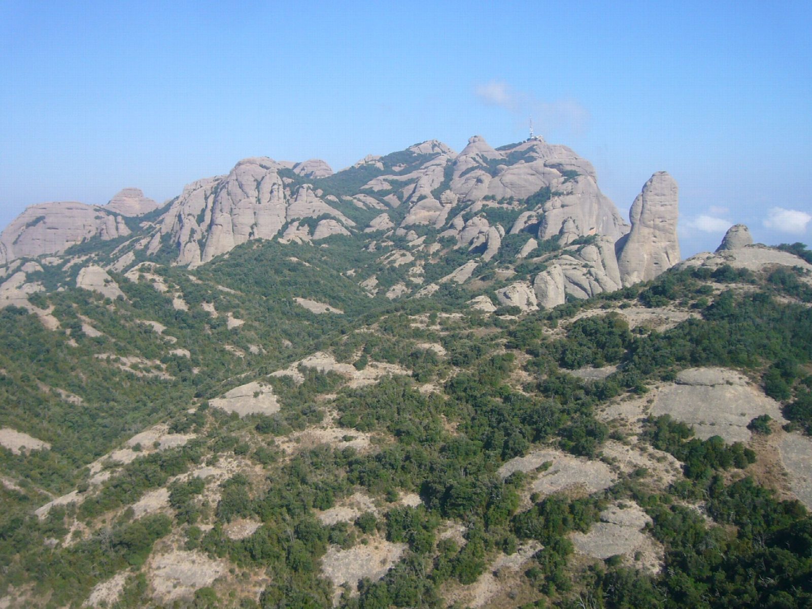
The walk starts in the monastery square, beside the upper station of the rack railway. The old path to Sant Jeroni climbs flights of steps through the Pas dels Francesos into the Torrent de Santa Maria and up to the Pla dels Ocells, then joins the Camí Nou to the chapel of Sant Jeroni. A last hundred steps reach the summit platform at 1,236 m, with a view on clear days from the Pyrenees to the sea. Come back along the Camí Nou, a gentler path that winds among the rock towers to the Pla de les Taràntules, by the top of the Sant Joan funicular, and down past Sant Miquel to the monastery.
It is 10.6 km round with 524 m of climbing; allow about 4 hours. The grade is Moderate: stone steps and good paths, steep at the start.
There is no water on the way. The steps in the Torrent de Santa Maria are slippery after rain, part of the route passes a rockfall zone, and on hot days the climb is hard work: start early.
The rack railway from Monistrol and the Aeri cable car both arrive at the start. The monastery car park cost €8 a day in 2026 and has limited space.
Route drawn by Global Adventurer along OpenStreetMap paths (© OpenStreetMap contributors, ODbL), with figures worked out from it. Check the forecast and the ground on the day: paths change.
Good to know
- The highest point of Montserrat, 1,236 m, with a view from the Pyrenees to the sea
- Up the steps of the old path past the Pas dels Francesos, back by the Camí Nou and Sant Miquel
- The rack railway from Monistrol and the cable car both arrive beside the start
- No water on the way, and the steps are slippery after rain
Summits on the way
- Agulla dels Retornats 855 m · passed close by
- la Panxa del Bisbe 1,047 m · passed close by
- Merlet del Pla dels Ocells (Roca 521) 1,004 m · passed close by
- Agulla del Pla dels Ocells 988 m · passed close by
- Roca 457 1,032 m · passed close by
- Roca 458 1,028 m · passed close by
- Roca 459 1,036 m · passed close by
- Roca 460 1,035 m · passed close by
- Roca 461 1,046 m · passed close by
- Roca 347 1,055 m · passed close by
- el Cigronet 1,066 m · passed close by
- Serrat de l'Albarda. Roca 339 1,101 m · passed close by
- Serrat de l'Albarda. Roca 338 1,100 m · passed close by
- Agulleta d'en Pany 1,174 m · passed close by
- Roca Veïna del Gegant 1,162 m · passed close by
- Roca 311 1,198 m · passed close by
- Roca 312 1,191 m · passed close by
- Sant Jeroni 1,238 m
- Roca de la Paparra 1,056 m · passed close by
- Cara de Mico 1,063 m · passed close by
- Roca 414 1,048 m · passed close by
- Magdalena Superior 1,153 m · passed close by
- la Gorra Frígia 1,152 m · passed close by
- Ullal de la Magdalena 1,128 m · passed close by
- Magdalena Inferior 1,118 m · passed close by
- Gorra Marinera 1,098 m · passed close by
- Roques del Camí de les Ermites 918 m · passed close by
Getting there
Start: Monestir de Montserrat. 41.59336, 1.83748
By train: Montserrat station is 0.1 km from the start.
Places to stay nearby
Rooms in and around Montserrat: Booking.com → Expedia →
Affiliate links: if you book, Global Adventurer earns a small commission at no cost to you.
Paths change, and the weather decides the day. The line and figures come from OpenStreetMap and our own checks; take a map, check the forecast, and turn back if it isn't right.