Line © OpenStreetMap contributors (ODbL), checked by Global Adventurer.
The walk
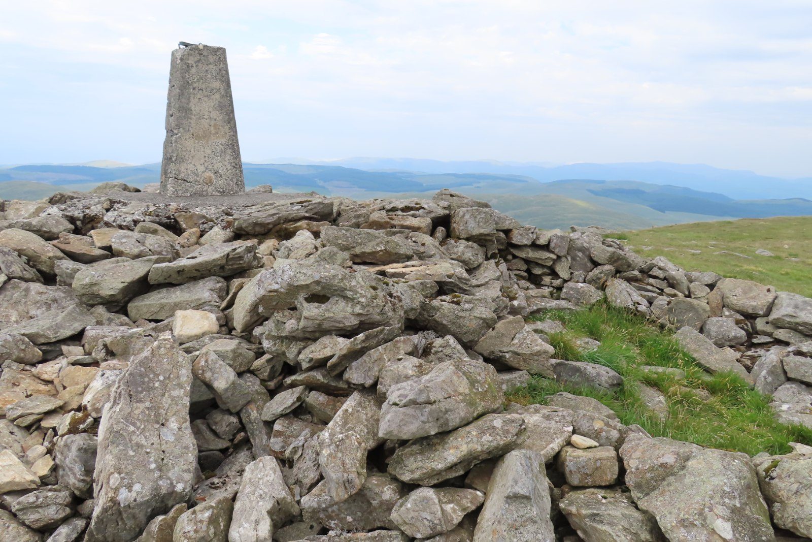
The walk starts from the car park at Eisteddfa Gurig farm, on the A44 between Llangurig and Ponterwyd. Follow the track west from the farm, past old mine workings, then turn north on a track and a public footpath that climb the west side of the valley. Higher up the path crosses rough grass and peat and is faint in places. Cairns mark the last of the way to the trig point and stone shelter on the summit of Pumlumon Fawr at 752 m, the highest point of the Cambrian Mountains. The Severn, the Wye and the Rheidol all rise on the mountain. The way down heads south-east to more old mine workings and follows a path beside the Afon Tarennig, here only a stream, back to the farm.
It is 8.0 km with 330 m of ascent; allow about 3 hours. The grade is Moderate: the walk is short, but the upper slopes are rough, boggy moor with faint paths.
Do not try this route in poor visibility: high up there is little to follow, and the ground is boggy and can be treacherous. A map and compass are essential, and walking poles help. The summit is exposed. Watch for the farm's dogs, caged or tethered, at the start.
Parking is at the farm, for a fee. There is no shelter on the way.
Route drawn by Global Adventurer along OpenStreetMap paths (© OpenStreetMap contributors, ODbL), with figures worked out from it. Check the forecast and the ground on the day: paths change.
Good to know
- Pumlumon Fawr, 752 m, is the highest point of the Cambrian Mountains
- The Severn, the Wye and the Rheidol all rise on the mountain
- Old mine workings lie on both the way up and the way down
- The return follows the young Afon Tarennig down to the farm
- A trig point and a stone shelter stand on the summit
Summits on the way
- Pumlumon Fawr [Plynlimon] 753 m
Getting there
Start: Eisteddfa Gurig · Pay and display. 52.44131, -3.76995
Places to stay nearby
Rooms in and around Dovey Junction: Booking.com → Expedia →
Affiliate links: if you book, Global Adventurer earns a small commission at no cost to you.
Paths change, and the weather decides the day. The line and figures come from OpenStreetMap and our own checks; take a map, check the forecast, and turn back if it isn't right.