Line © OpenStreetMap contributors (ODbL), checked by Global Adventurer.
The walk
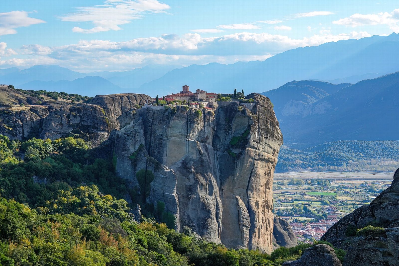
From the centre of Kalambaka, a stepped path climbs behind the town between the sandstone pillars to the Monastery of the Holy Trinity, perched on its rock. Paths and short stretches of road then lead north among the pillars to Varlaam and the Great Meteoron, the largest of the monasteries. From there the old footpath drops past St Nicholas Anapafsas to the village of Kastraki, and a path round the foot of the rocks leads back to Kalambaka.
It is 11.5 km round with 590 m of ascent; allow about 4½ hours, plus time in the monasteries. The grade is Moderate: steep stone steps and paths, with some road walking between the monasteries.
Each monastery charges about €5, cash only, and each closes on one or more days a week: Holy Trinity on Thursdays, Varlaam on Fridays and Great Meteoron on Tuesdays in summer, with more closed days in winter from 1 November. Shoulders and knees must be covered; wraps are lent at the doors. Meteora has been on the UNESCO World Heritage list since 1988.
Kalambaka has free car parks in the centre and a railway station.
Route drawn by Global Adventurer along OpenStreetMap paths (© OpenStreetMap contributors, ODbL), with figures worked out from it. Check the forecast and the ground on the day: paths change.
Good to know
- The monasteries stand on top of sandstone pillars that rise hundreds of metres above the Pineios plain
- Monks settled the rocks from the 14th century; six monasteries are still lived in
- Old stepped footpaths link Kalambaka and Kastraki with the monasteries, older than the road
- Meteora has been on the UNESCO World Heritage list since 1988
Summits on the way
- Badovas 334 m · passed close by
Getting there
Start: Kalambaka, town centre car park · Free parking. 39.70615, 21.62705
Places to stay nearby
Rooms in and around Kalambaka: Booking.com → Expedia →
Affiliate links: if you book, Global Adventurer earns a small commission at no cost to you.
Paths change, and the weather decides the day. The line and figures come from OpenStreetMap and our own checks; take a map, check the forecast, and turn back if it isn't right.