Line © OpenStreetMap contributors (ODbL), checked by Global Adventurer.
The walk
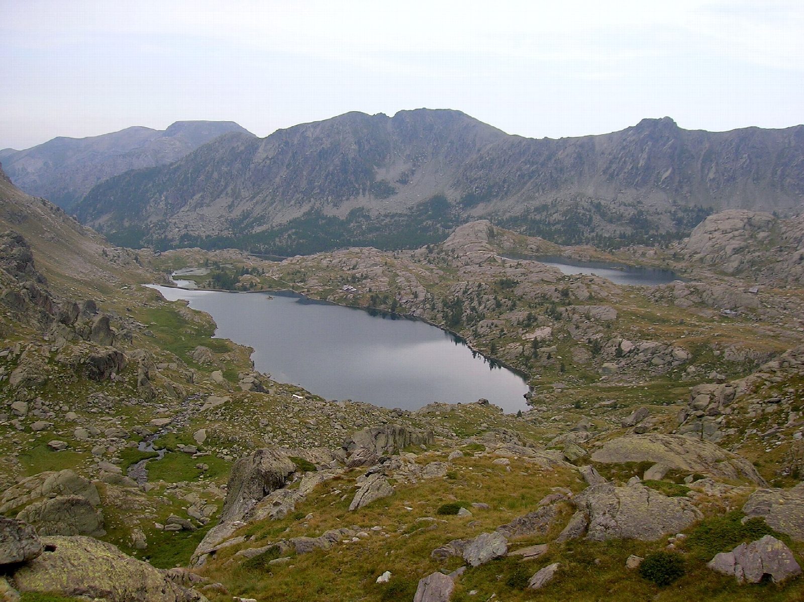
From the car park by the Lac des Mesches, above Saint-Dalmas-de-Tende, a track climbs west into the Vallée des Merveilles. Higher up a path takes over and climbs over rock and grass to the Lacs Long and the Refuge des Merveilles, at about 2,111 m, in a stony landscape shaped by the glaciers under Mont Bégo (2,872 m). Return the same way.
It is 14.7 km there and back with 724 m of ascent; allow about 5½ hours. The grade is Hard: a long climb, first on a stony track, then on a mountain path.
Around Mont Bégo some 40,000 figures are carved on about 4,000 rocks, most of them from around 3300 BC; the zone has been a listed historic monument since 1989, and guided visits of the engravings start from the refuge. The valley is in the core of the Parc national du Mercantour: dogs are not allowed. It is high ground, with snow from autumn into early summer and storms on summer afternoons.
The road to the Lac des Mesches leaves the Roya valley at Saint-Dalmas-de-Tende towards Castérino.
Route drawn by Global Adventurer along OpenStreetMap paths (© OpenStreetMap contributors, ODbL), with figures worked out from it. Check the forecast and the ground on the day: paths change.
Good to know
- The track and path climb from the Lac des Mesches to the Refuge des Merveilles by the Lacs Long; the park allows about 3 hours up
- Around Mont Bégo (2,872 m) some 40,000 figures are carved on about 4,000 rocks, most of them from around 3300 BC, one of the largest sites of rock engravings in Europe
- The engravings area has been a listed historic monument since 1989; guided visits start from the refuge
- The valley is in the core of the Parc national du Mercantour: dogs are not allowed
Getting there
Start: Lac des Mesches car park. 44.06989, 7.52190
Places to stay nearby
Rooms in and around Vievola: Booking.com → Expedia →
Affiliate links: if you book, Global Adventurer earns a small commission at no cost to you.
Paths change, and the weather decides the day. The line and figures come from OpenStreetMap and our own checks; take a map, check the forecast, and turn back if it isn't right.