Line © OpenStreetMap contributors (ODbL), checked by Global Adventurer.
The walk
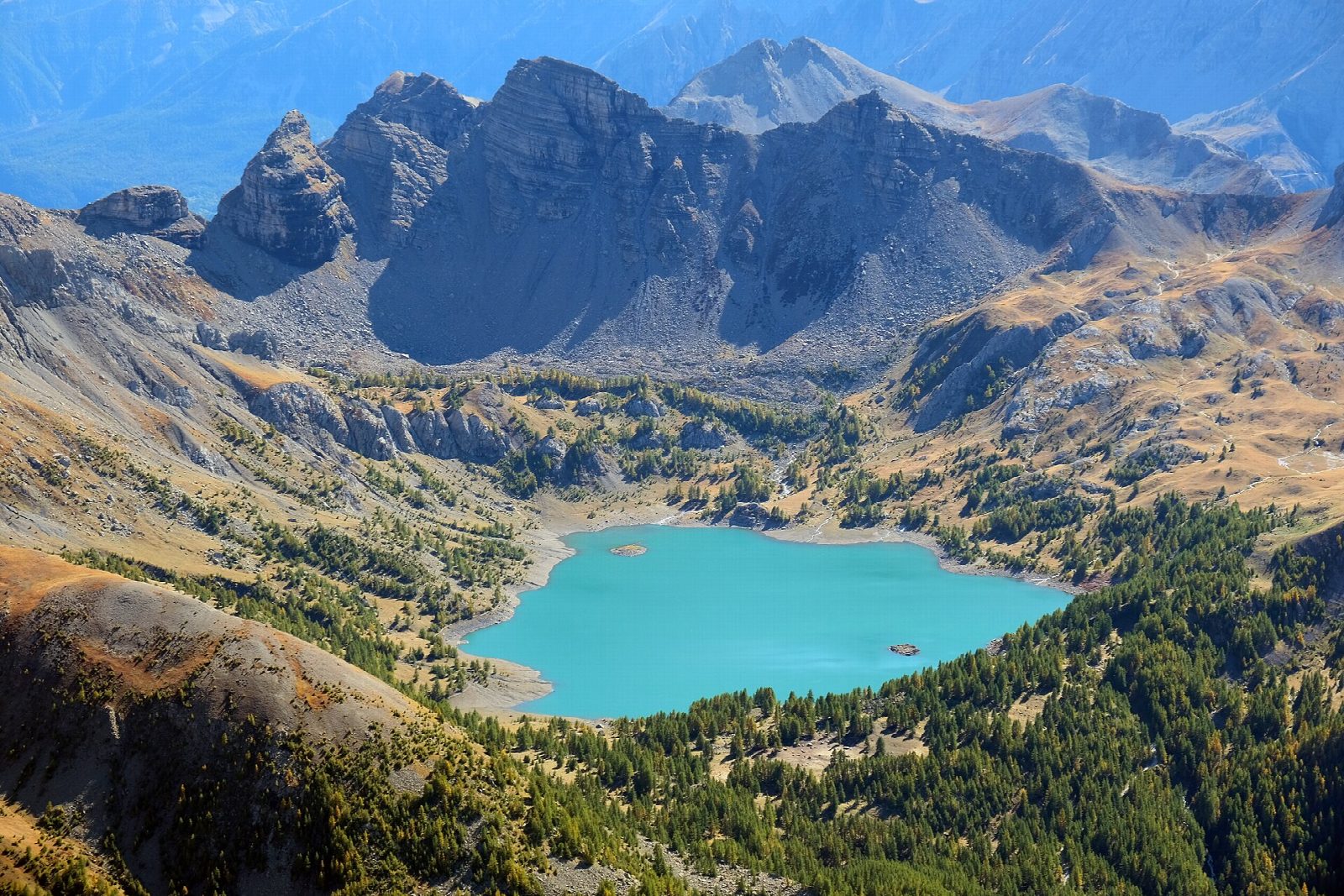
From the Parking du Laus, at about 2,110 m at the end of the road from Allos, a broad path climbs gently through larches and pasture to the Refuge du Lac d'Allos on the lake's north shore. From the refuge a path runs right round Lac d'Allos, first along the east shore under the cliffs of the Tours du Lac, round the south end and back along the west shore to the refuge, then back down to the car park.
It is 7.5 km round with 178 m of ascent; allow about 2½ hours. The grade is Easy: good paths and tracks with little climbing.
The lake lies at 2,228 m, covers 54 hectares and is up to 48 m deep. It is in the core of the Parc national du Mercantour: dogs, bikes, drones, camping, fires and picking are forbidden, and there are no bins, so take all rubbish home. The Val d'Allos advises late June or September to avoid the crowds of high summer.
The road to the Laus car park opens in summer only (from 29 May in 2026) and closes in snow, ice or landslides. In high summer and on some weekends access is limited and costs 12 euros a car; vehicles over 2.10 m high may only go as far as the Chaup car park.
Route drawn by Global Adventurer along OpenStreetMap paths (© OpenStreetMap contributors, ODbL), with figures worked out from it. Check the forecast and the ground on the day: paths change.
Good to know
- Lac d'Allos, at 2,228 m, covers 54 hectares and is up to 48 m deep; the Val d'Allos calls it the largest natural high-mountain lake in Europe
- A short climb from the Laus car park to the refuge, then a path right round the lake under the Tours du Lac
- The lake is in the core of the Parc national du Mercantour: no dogs, bikes, drones, camping or picking
Getting there
Start: Parking du Laus. 44.24601, 6.69810
Places to stay nearby
Rooms in and around Thorame-Haute Gare: Booking.com → Expedia →
Affiliate links: if you book, Global Adventurer earns a small commission at no cost to you.
Paths change, and the weather decides the day. The line and figures come from OpenStreetMap and our own checks; take a map, check the forecast, and turn back if it isn't right.