Line © OpenStreetMap contributors (ODbL), checked by Global Adventurer.
The hike
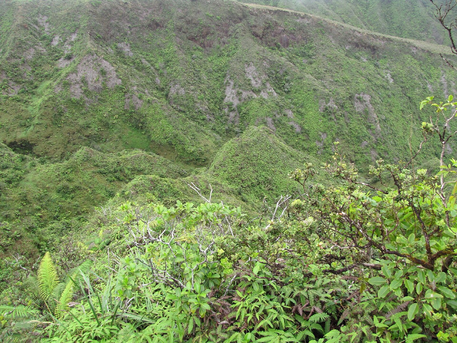
The walk starts at the Waiheʻe Ridge trailhead parking lot, 0.9 miles up Maluhia Road from Kahekili Highway (Route 340). From the gate a steep, paved one-lane road climbs towards a water tank, and the trail bears left just before it into a gulch of kukui and guava. It climbs through Cook pines and eucalyptus to an overlook with a bench and a view of a waterfall on Makamakaʻole Stream, then follows Kanoa Ridge high above Waiheʻe Valley, through open fern and two sets of switchbacks, and ends at a picnic table on the flat top of Lanilili, at 2,563 feet. Return the same way.
It is 4.3 miles (6.9 km) round trip with 1,560 feet (475 m) of climbing; allow about 3½ hours. The grade is Moderate: a steady climb of about 1,500 feet on a clear path that is often muddy.
The gate at the bottom of the access road opens at 7 am and closes at 7 pm. If it is shut, park in the gravel area beside it and walk up the road, about a mile. There is no fee, and no drinking water.
This is a hunting area: wear bright clothing and stay on the trail. The top is often in cloud, so go early for the view. Check the State's trail page for storm closures before you go.
Route drawn by Global Adventurer along OpenStreetMap paths (© OpenStreetMap contributors, ODbL), with figures worked out from it. Check the forecast and the ground on the day: paths change.
Good to know
- Up a narrow ridge in the West Maui Mountains to Lanilili, 2,563 feet, above deep green valleys
- The first stretch is a steep concrete ramp; higher up the path is often muddy and in cloud
- The car park gate opens 7 am to 7 pm and the small lot fills early
Summits on the way
- Lanilili 2,566 ft (782 m)
Getting there
Start: Waiheʻe Ridge Trailhead · Free parking. 20.95318, -156.53239
Places to stay nearby
Rooms in and around Maui: Booking.com → Expedia →
Affiliate links: if you book, Global Adventurer earns a small commission at no cost to you.
Paths change, and the weather decides the day. The line and figures come from OpenStreetMap and our own checks; take a map, check the forecast, and turn back if it isn't right.