Line © OpenStreetMap contributors (ODbL), checked by Global Adventurer.
The hike
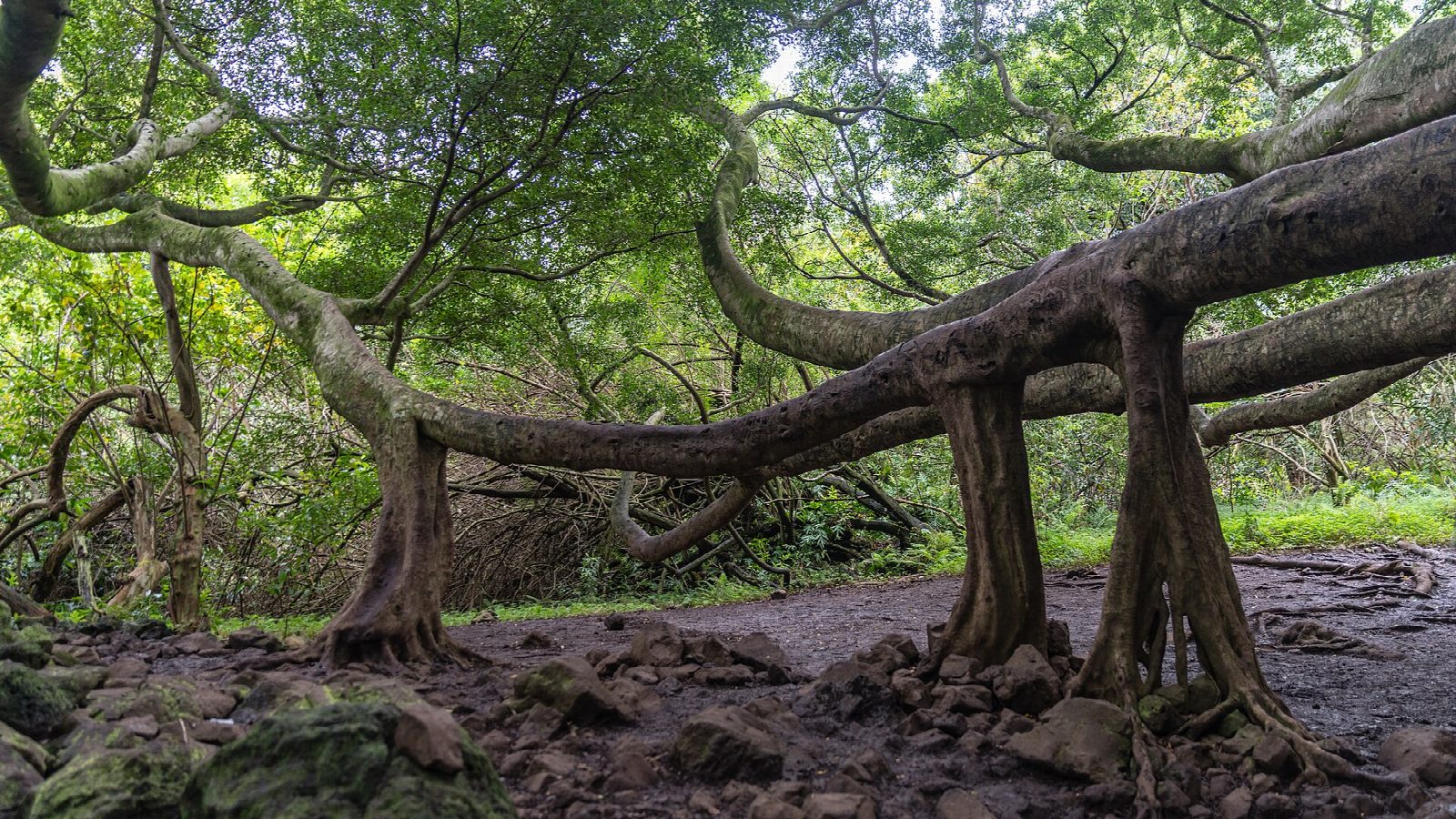
The walk starts at the Kīpahulu Visitor Center, in the coastal district of Haleakalā National Park, 12 miles beyond Hāna. Follow the paved path in front of the visitor center to a T-junction and turn left on the Pīpīwai Trail. It climbs above the stream to the overlook for Makahiku Falls, about half a mile in, and then passes under a great banyan tree. After about a mile the trail enters a bamboo forest, where it runs on boardwalks and crosses the stream on footbridges. It ends at the viewing area for Waimoku Falls, which the park gives as 400 feet high. Return the same way.
It is 3.5 miles (5.6 km) round trip with 960 feet (292 m) of climbing; allow about 2½ hours. The grade is Easy: a steady climb on a path that is rocky, rooted and often muddy.
Flash floods and rockfalls can happen here at any time: the park says the water can rise four feet in ten minutes. Stay out of the streams and out of closed areas, and stay at the viewing area rather than going under the falls.
The park charges $30 a vehicle, valid for three days and paid by card. The district was closed for some days in August and September 2026 after storms: check the park's alerts before you set out.
Route drawn by Global Adventurer along OpenStreetMap paths (© OpenStreetMap contributors, ODbL), with figures worked out from it. Check the forecast and the ground on the day: paths change.
Good to know
- Past the 200-foot Makahiku Falls and a giant banyan, then on boardwalks through a dense bamboo forest
- Ends at the viewing area for Waimoku Falls, about 400 feet high; rocks fall from the cliff, so go no closer
- Streams rise fast in heavy rain: never cross high water. Kīpahulu is reached by the road to Hāna
Getting there
Start: Kīpahulu Visitor Center · Parking fee. 20.66196, -156.04517
Places to stay nearby
Rooms in and around Maui: Booking.com → Expedia →
Affiliate links: if you book, Global Adventurer earns a small commission at no cost to you.
Paths change, and the weather decides the day. The line and figures come from OpenStreetMap and our own checks; take a map, check the forecast, and turn back if it isn't right.