Line © OpenStreetMap contributors (ODbL), checked by Global Adventurer.
The walk
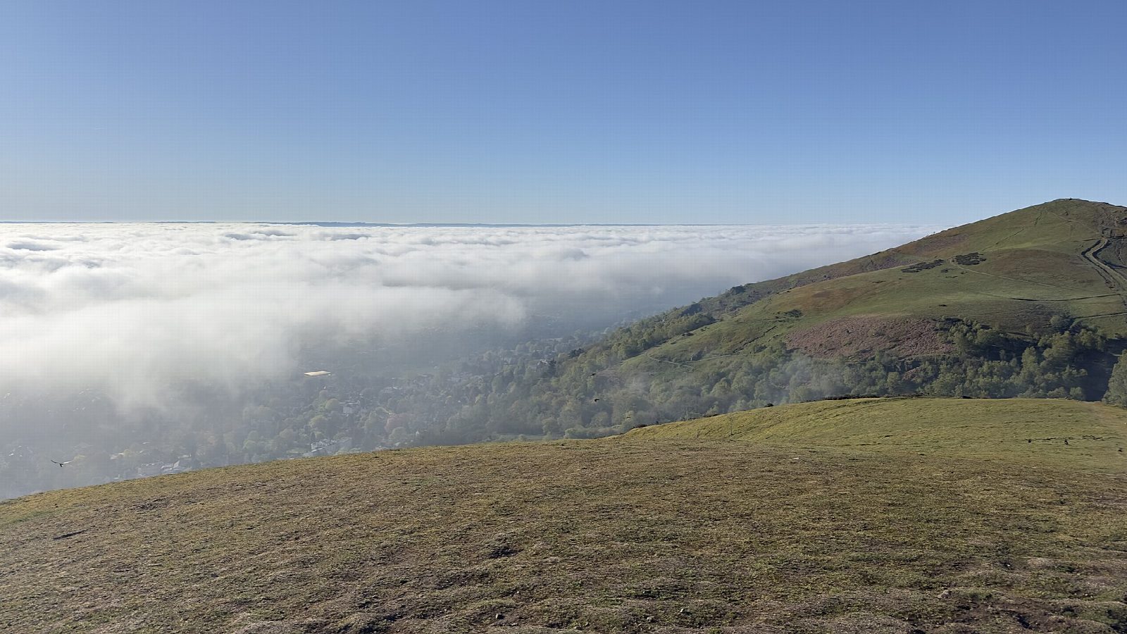
From the Priory Road car park in Great Malvern the walk climbs through the town and up St Ann's Road on to the hills, then zigzags up North Hill. It follows the ridge south over Table Hill and Sugarloaf Hill to Worcestershire Beacon, at 425 m the highest point of the Malvern Hills, with a toposcope and views over the Severn Vale to the Cotswolds and into Wales. The way down drops east to St Ann's Well, a spring of Malvern water with a small cafe, and back through the town.
It is 6.1 km with 418 m of ascent; allow about 3 hours. The grade is Easy. The climbs are steep but on good paths.
The ridge is exposed to wind and the slopes are steep. Many paths cross the hills; in mist keep to the main ridge path. Sheep and cattle graze the hills at times, so keep dogs under control.
The Priory Road long-stay car park is pay and display. Great Malvern station is about 400 m away.
Route drawn by Global Adventurer along OpenStreetMap paths (© OpenStreetMap contributors, ODbL), with figures worked out from it. Check the forecast and the ground on the day: paths change.
Good to know
- Up from Great Malvern past St Ann's Road on to North Hill
- Along the ridge over Table Hill and Sugarloaf Hill
- Worcestershire Beacon, at 425 m the highest point of the Malvern Hills
- Down past St Ann's Well, a spring of Malvern water
Summits on the way
- North Hill 398 m
- Table Hill 375 m · passed close by
- Sugarloaf Hill 369 m · passed close by
- Worcestershire Beacon 425 m
Getting there
Start: Priory Road car park, Great Malvern · Pay and display. 52.10977, -2.32411
By train: Great Malvern station is 0.4 km from the start.
Places to stay nearby
Rooms in and around Priory Road car park: Booking.com → Expedia →
Affiliate links: if you book, Global Adventurer earns a small commission at no cost to you.
Paths change, and the weather decides the day. The line and figures come from OpenStreetMap and our own checks; take a map, check the forecast, and turn back if it isn't right.