Line © OpenStreetMap contributors (ODbL), checked by Global Adventurer.
The walk
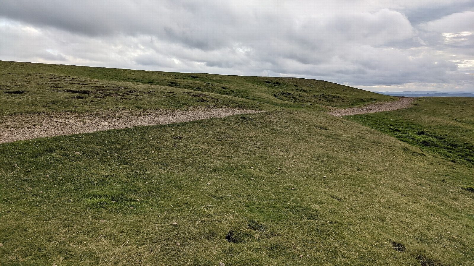
From the British Camp car park the walk goes past the reservoir and follows bridleways south along the eastern side of the hills, above Castlemorton Common, to the car park at Swinyard. It climbs on to the ridge and heads north over Swinyard Hill and Hangman's Hill, past Clutter's Cave, a small cave in the rock, and along the Shire Ditch, a boundary bank dug in the 1280s. It finishes over the ramparts of British Camp, an Iron Age hill fort on the Herefordshire Beacon, before dropping to the car park.
It is 6.0 km with 257 m of ascent; allow about 2 hours. The grade is Easy. The climb to British Camp is steep, up stepped paths.
The ridge is open and exposed to wind. Sheep and cattle graze the commons, so keep dogs under control. The A449 between Malvern Wells and British Camp has been closed since landslides in February 2026: check your route to the car park.
The British Camp car park is run by the Malvern Hills Trust and charges a fee. The nearest station is Colwall, about 2.2 km away.
Route drawn by Global Adventurer along OpenStreetMap paths (© OpenStreetMap contributors, ODbL), with figures worked out from it. Check the forecast and the ground on the day: paths change.
Good to know
- Along the east side of the hills above Castlemorton Common
- Back along the ridge over Swinyard Hill and Hangman's Hill, past Clutter's Cave
- The Shire Ditch, a boundary bank dug in the 1280s
- British Camp, an Iron Age hill fort on the Herefordshire Beacon
Summits on the way
- Tinker's Hill 213 m · passed close by
- Swinyard Hill 237 m · passed close by
- Hangmans Hill 276 m · passed close by
- Millennium Hill 327 m · passed close by
- Herefordshire Beacon 338 m
Getting there
Start: British Camp car park · Pay and display. 52.06109, -2.34690
By train: Colwall station is 2.2 km from the start.
Places to stay nearby
Rooms in and around Colwall: Booking.com → Expedia →
Affiliate links: if you book, Global Adventurer earns a small commission at no cost to you.
Paths change, and the weather decides the day. The line and figures come from OpenStreetMap and our own checks; take a map, check the forecast, and turn back if it isn't right.