Line © OpenStreetMap contributors (ODbL), checked by Global Adventurer.
The walk
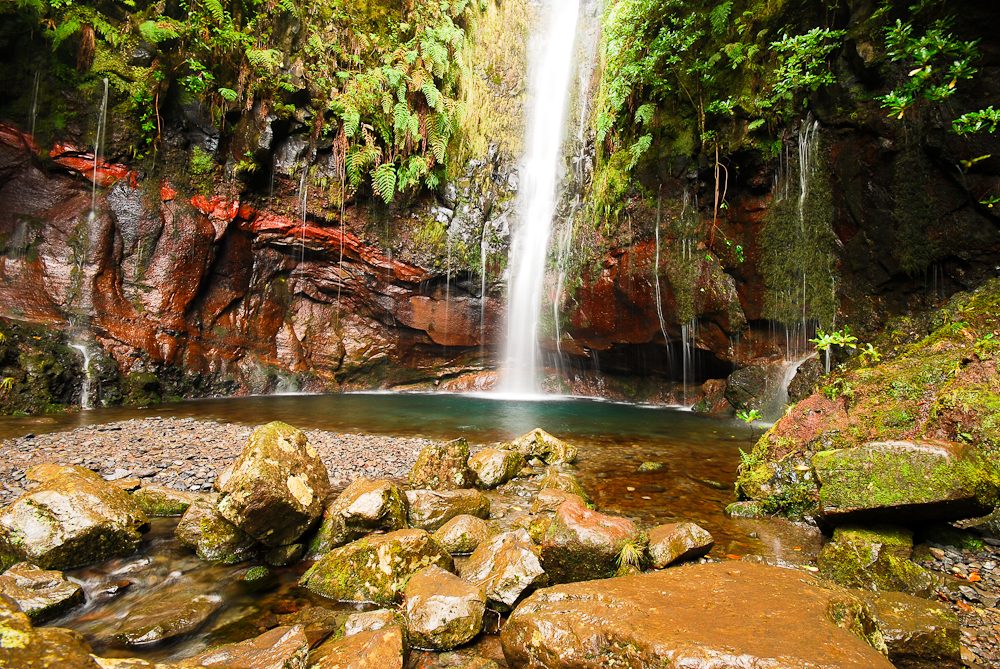
From the car park on the ER105, walk down the road to Casa do Rabaçal. Follow the Levada do Risco east to the railed viewpoint facing the Risco waterfall, then come back to the junction with the 25 Fontes path and go down its long flight of steps to the Levada das 25 Fontes. Follow it out to the pool at 25 Fontes, where small springs run down a mossy cliff. Return by the signed path to the levada, then climb the steps and the road back.
It is 9.6 km round with 372 m of ascent; allow about 3½ hours. The grade is Moderate: narrow levada paths, long stone staircases and the climb back up the road.
Every walker must book a 30-minute entry slot on the Madeira government's SIMplifica portal, one for each of the two trails; visitors aged 13 and over pay €4.50 a trail, or €9 for two or more on the same day. The end of the 25 Fontes path is one-way. There are drops in places, the rock is slippery and the 25 Fontes path is busy.
The car park is free; there is no regular bus, so come by car or taxi. The road down to Casa do Rabaçal is closed to private cars: walk it, or take the Calheta council minibus (€5 one way, €8 return).
Route drawn by Global Adventurer along OpenStreetMap paths (© OpenStreetMap contributors, ODbL), with figures worked out from it. Check the forecast and the ground on the day: paths change.
Good to know
- Rabaçal lies in a deep valley below the Paul da Serra plateau, whose mist and rain feed the springs
- The Risco waterfall falls in a single white line down a dark wall at the head of the valley
- At 25 Fontes dozens of small springs run down a mossy cliff into a pool
- The 2 km road down to Casa do Rabaçal is closed to cars; a council minibus runs on it
Getting there
Start: Rabaçal car park on the ER105. 32.75491, -17.13384
Places to stay nearby
Rooms in and around Madeira: Booking.com → Expedia →
Affiliate links: if you book, Global Adventurer earns a small commission at no cost to you.
Paths change, and the weather decides the day. The line and figures come from OpenStreetMap and our own checks; take a map, check the forecast, and turn back if it isn't right.