Line © OpenStreetMap contributors (ODbL), checked by Global Adventurer.
The walk
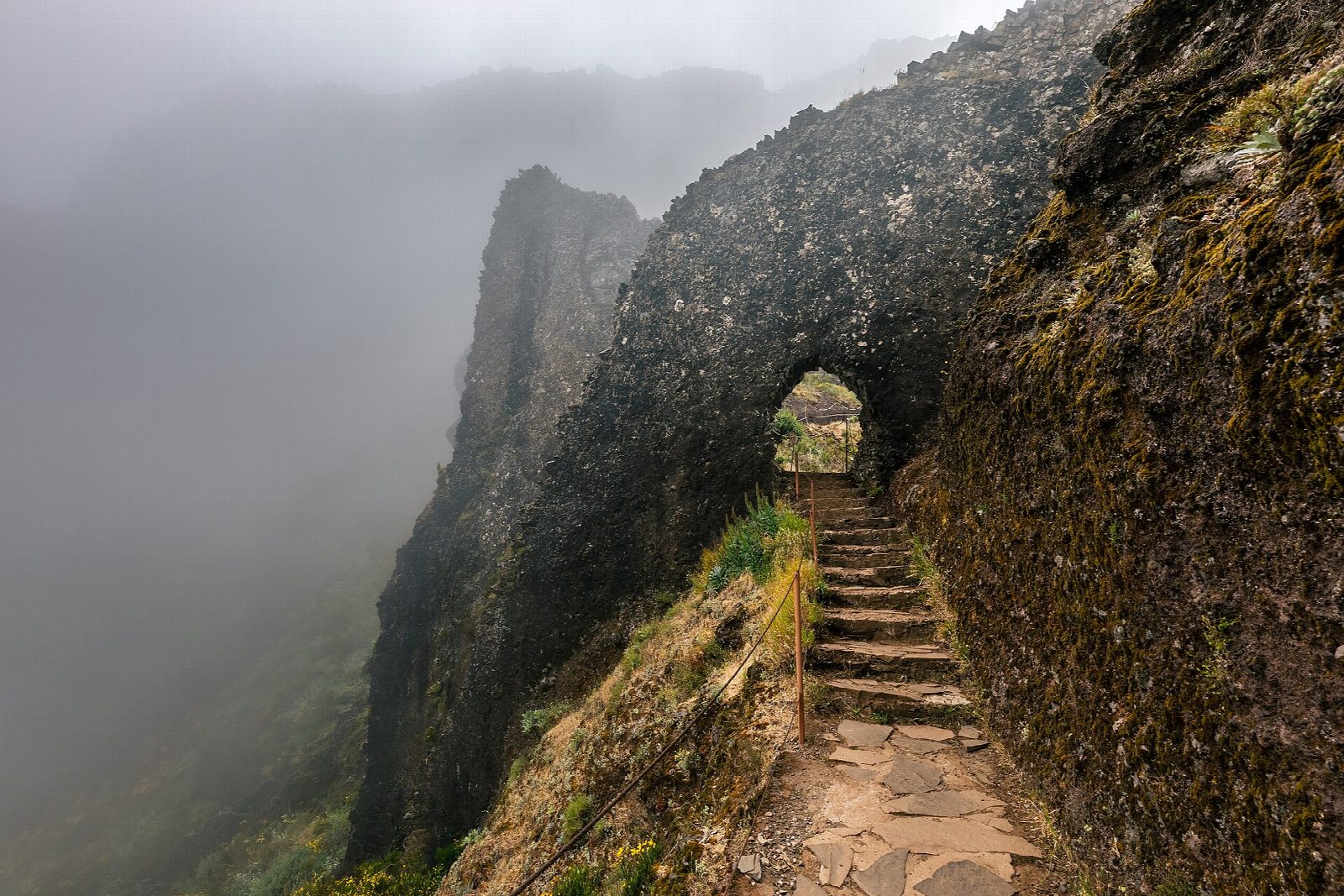
From the car park by the summit buildings on Pico do Areeiro, follow the paved, stepped ridge path north-west to the Pedra Rija viewpoint. Keep to the western branch, which drops below the crest through short rock tunnels and climbs to the Pico Ruivo shelter. Climb the stepped spur to the summit of Pico Ruivo and back, then take the paved path east to Achada do Teixeira.
It is 8.2 km one way with 691 m of ascent and 1,000 m of descent; allow about 5½ hours. The grade is Hard: a high, exposed path with long stone staircases and drops beside it. The climb and descent are Lido Tours' published figures; there is no official figure.
Every walker must book a 30-minute entry slot on the Madeira government's SIMplifica portal; visitors aged 13 and over pay €10.50 for the full route, as the €4.50 ticket covers only Pedra Rija and back. Beyond Pedra Rija the path is one-way, so the walk ends at Achada do Teixeira, and the branch over Pico das Torres is closed. Trails close in bad weather: check the IFCN status page. Carry a torch for the tunnels, warm layers and water.
No bus reaches either end: arrange a taxi back from Achada do Teixeira, about an hour by road from the start. Parking at Pico do Areeiro is reported to be paid.
Route drawn by Global Adventurer along OpenStreetMap paths (© OpenStreetMap contributors, ODbL), with the distance and time worked out from it. The climb is the published figure: height data cannot be trusted on this ground. Check the forecast and the ground on the day: paths change.
Good to know
- Joins Pico do Areeiro (1,818 m), the island's third-highest summit, to Pico Ruivo (1,862 m), its highest
- Beyond the Pedra Rija viewpoint the path is one-way towards Pico Ruivo, so the walk ends at Achada do Teixeira
- The open western branch passes under the pinnacles through short rock tunnels; the Pico das Torres branch is closed
- No bus serves either end: arrange a taxi back from Achada do Teixeira
Summits on the way
- Arieiro 1,818 m · passed close by
- Ruivo 1,862 m · passed close by
- Encumeada Baixa 1,655 m · passed close by
- Achada do Teixeira 1,592 m · passed close by
Getting there
Start: Pico do Areeiro car park. 32.73438, -16.92879
Places to stay nearby
Rooms in and around Madeira: Booking.com → Expedia →
Affiliate links: if you book, Global Adventurer earns a small commission at no cost to you.
Paths change, and the weather decides the day. The line and figures come from OpenStreetMap and our own checks; take a map, check the forecast, and turn back if it isn't right.