Line © OpenStreetMap contributors (ODbL), checked by Global Adventurer.
The walk
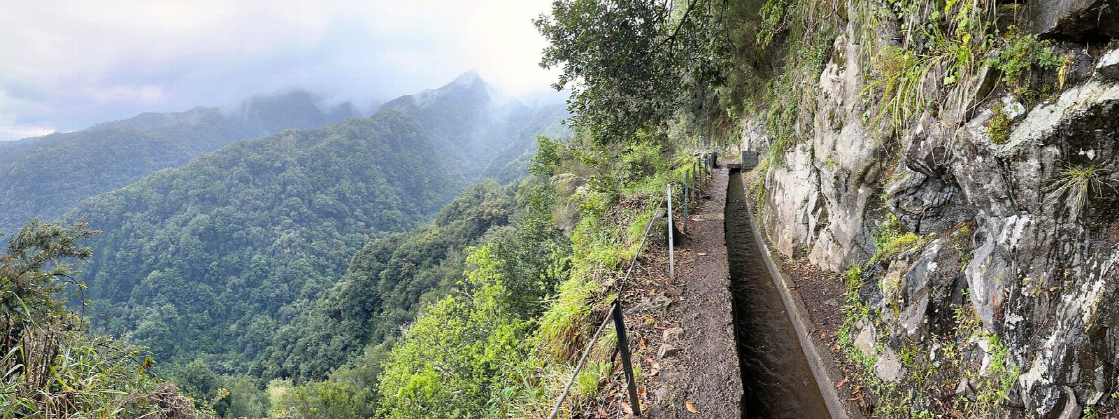
From the car park by the water treatment plant at Quebradas, above São Jorge, follow the farm track a short way and go down the steps onto the Levada do Rei. It heads inland, winding in and out of side valleys past fields and planted woods, then into laurel forest, with one short tunnel. An old water mill is still turned by the levada. The path ends at the Ribeiro Bonito stream, the levada's source. Return the same way.
It is 10 km there and back with 38 m of ascent; allow about 3½ hours. The grade is Moderate, for the length: the path is almost level but narrow in places, with drops on the open side. The climb and time come from visitmadeira.com: the climb is the rise between its published lowest and highest points.
Every walker must book a 30-minute entry slot on the Madeira government's SIMplifica portal; visitors aged 13 and over pay €4.50 a trail, or €9 for two or more trails on the same day. The path is wet, muddy and slippery after rain. A torch helps in the tunnel.
The car park is free but small, with more space beside the road. Horários do Funchal buses to São Jorge stop on the ER101 at Ribeira Funda and Felpa, about 1 km below by road; check the timetable.
Route drawn by Global Adventurer along OpenStreetMap paths (© OpenStreetMap contributors, ODbL), with the distance and time worked out from it. The climb is the published figure: height data cannot be trusted on this ground. Check the forecast and the ground on the day: paths change.
Good to know
- The levada carries water from the Ribeiro Bonito stream to the farms of São Jorge on the north coast
- Almost level, between about 535 and 575 m
- It leaves farmland and planted woods for native laurel forest towards its end
- An old water mill on the way is still turned by the levada
Getting there
Start: Levada do Rei car park, Quebradas. 32.81685, -16.92463
Places to stay nearby
Rooms in and around Levada do Rei car park: Booking.com → Expedia →
Affiliate links: if you book, Global Adventurer earns a small commission at no cost to you.
Paths change, and the weather decides the day. The line and figures come from OpenStreetMap and our own checks; take a map, check the forecast, and turn back if it isn't right.