Line © OpenStreetMap contributors (ODbL), checked by Global Adventurer.
The walk
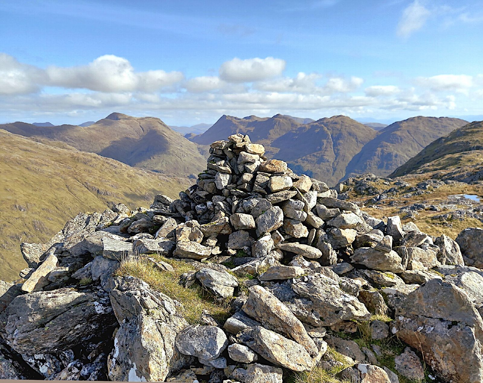
The walk starts from a lay-by on the A830 west of Glenfinnan, by the bridge over the Allt an Utha. A track climbs north through the forest and out onto the open hill beside the burn, and a path continues up the south-west ridge of Sgùrr an Utha to the summit cairn on its rocky knoll. The route then heads east over the bealach towards Fraoch-bheinn, across broad, knobbly ground of slabs, crags and peaty hollows, and drops south to a rough hill track that leads back down to the outward track and the road.
It is 8.6 km with 682 m of ascent; allow about 4¾ hours. The grade is Moderate, but above the track the ground is rough, rocky and boggy.
Paths on the high ground are faint or missing, and the broad ridge towards Fraoch-bheinn is confusing in mist: carry a map and compass and know how to use them. The summit drops away steeply on its north side and has a rare view down Loch Beoraid; the ridge looks along Loch Eil. No stalking information is published for the hill.
Parking is free. Glenfinnan station is about 2.7 km east of the start.
Route drawn by Global Adventurer along OpenStreetMap paths (© OpenStreetMap contributors, ODbL), with figures worked out from it. Check the forecast and the ground on the day: paths change.
Good to know
- Sgùrr an Utha is a Corbett west of Glenfinnan with a view down Loch Beoraid
- The high ground is rough, with faint paths
Summits on the way
- Sgurr an Utha 796 m
Getting there
Start: Allt an Utha car park, A830 · Free parking. 56.87776, -5.49196
By train: Glenfinnan station is 2.7 km from the start.
Places to stay nearby
Rooms in and around Allt an Utha car park: Booking.com → Expedia →
Affiliate links: if you book, Global Adventurer earns a small commission at no cost to you.
Paths change, and the weather decides the day. The line and figures come from OpenStreetMap and our own checks; take a map, check the forecast, and turn back if it isn't right.
