Line © OpenStreetMap contributors (ODbL), checked by Global Adventurer.
The walk
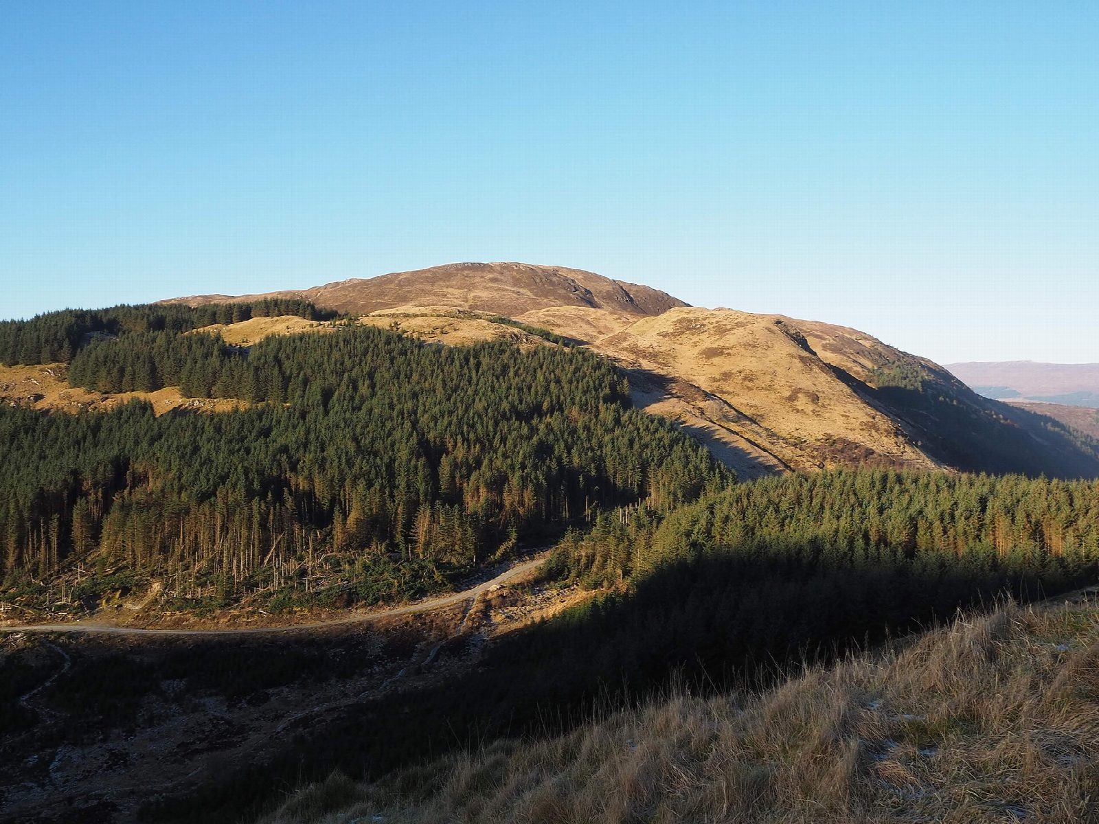
The walk starts from the Braveheart car park in lower Glen Nevis. A forest track, which soon becomes the West Highland Way, heads south above the glen. At a fork the route takes the uphill branch, which climbs gently, then zigzags, with views back down the glen and across to Ben Nevis. Just before the top of a rise a signed path turns off for Dùn Deardail. It skirts the edge of the trees, crosses a boardwalk and climbs a grassy mound to the fort. The return is the same way.
It is 9.9 km with 317 m of ascent; allow about 3¼ hours. The grade is Moderate: mostly on good forest tracks, with a short path to finish.
Dùn Deardail is an Iron Age fort whose stone wall was heated until it fused, leaving a grassy bank round the summit. Walk round the rampart for the view: Ben Nevis stands across the glen at its full height, and the Mamores rise to the south. The track is shared with walkers on the West Highland Way.
The car park charges. Fort William station is about 1.7 km from the start.
Route drawn by Global Adventurer along OpenStreetMap paths (© OpenStreetMap contributors, ODbL), with figures worked out from it. Check the forecast and the ground on the day: paths change.
Good to know
- Dùn Deardail is an Iron Age hill fort with a vitrified wall
- Much of the way is on the West Highland Way through forest
Getting there
Start: Braveheart car park, Glen Nevis · Pay and display. 56.81613, -5.07932
By train: Fort William station is 1.7 km from the start.
Places to stay nearby
Rooms in and around Braveheart car park: Booking.com → Expedia →
Affiliate links: if you book, Global Adventurer earns a small commission at no cost to you.
Paths change, and the weather decides the day. The line and figures come from OpenStreetMap and our own checks; take a map, check the forecast, and turn back if it isn't right.