Line © OpenStreetMap contributors (ODbL), checked by Global Adventurer.
The walk
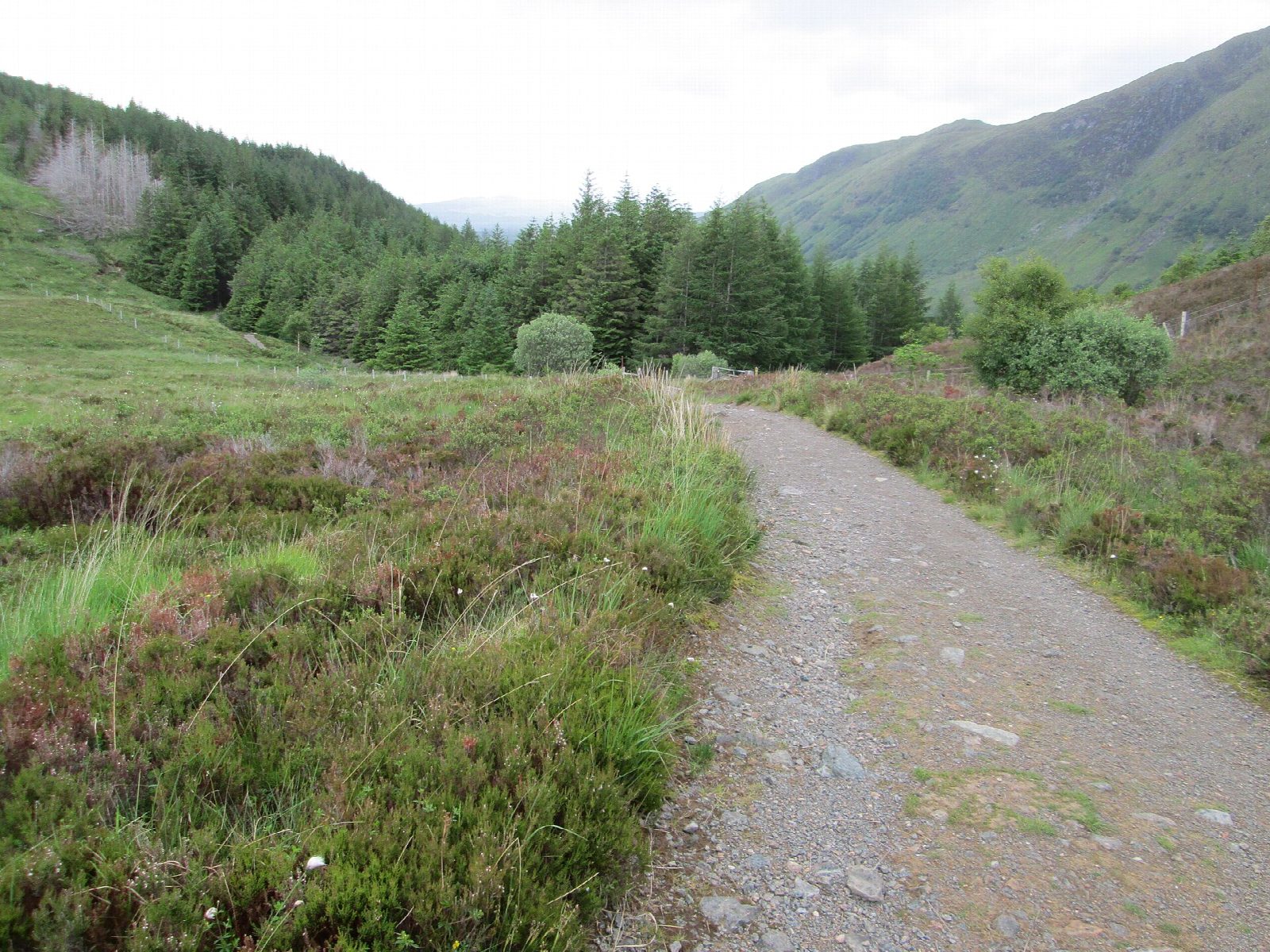
The walk starts from the car park by Fort William station. It follows the road north-east past the leisure centre to the start of the Cow Hill Circuit, then zigzags up to a path round the lower slopes of the hill. The path runs above the town and into lower Glen Nevis, joining a forest track near the Braveheart car park. A signed path, the Peat Track, then climbs steeply up through the trees onto open moor. A short detour leads to the summit of Cow Hill, and the walk returns over the moor on the track west to the Lundavra Road and down through the town.
It is 10.7 km with 444 m of ascent; allow about 4 hours. The grade is Moderate: good, signed paths and tracks, with one long steep climb.
The Peat Track was used for carrying peats down from the hill. The summit, at 287 m, has a mast and a view over the town towards Loch Linnhe. About a sixth of the walk is on roads and pavements in the town.
The station car park charges. Fort William station is next to it.
Route drawn by Global Adventurer along OpenStreetMap paths (© OpenStreetMap contributors, ODbL), with figures worked out from it. Check the forecast and the ground on the day: paths change.
Good to know
- The Peat Track was used for carrying peat down from the hill
- Cow Hill looks over Fort William, Loch Linnhe and Glen Nevis
Summits on the way
- Cow Hill 287 m
Getting there
Start: Fort William station car park · Pay and display. 56.82015, -5.10500
By train: Fort William station is 0.0 km from the start.
Places to stay nearby
Rooms in and around Fort William: Booking.com → Expedia →
Affiliate links: if you book, Global Adventurer earns a small commission at no cost to you.
Paths change, and the weather decides the day. The line and figures come from OpenStreetMap and our own checks; take a map, check the forecast, and turn back if it isn't right.