Line © OpenStreetMap contributors (ODbL), checked by Global Adventurer.
The walk
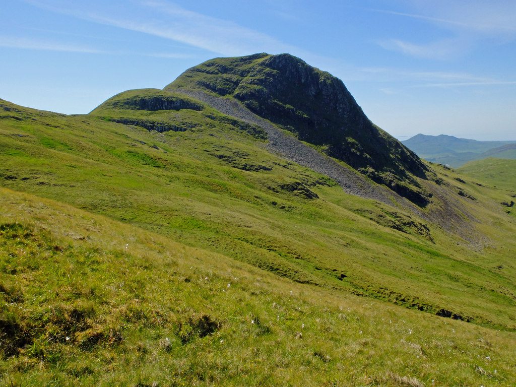
The walk starts from a small parking area on the B8007 at the road's highest point on the way to Kilchoan. The path leaves from a small cairn and slants up onto the moor, steepening to the top of an escarpment with views over Loch Sunart. It continues up a broader grassy slope and a short rocky section onto a grassy ridge. Below the summit cone it swings left across the south side and climbs to the top from behind. The return is the same way.
It is 4.5 km with 355 m of ascent; allow about 2½ hours. The grade is Easy: short, on a clear hill path, with some steep and boggy sections.
The summit has a trig point and a cairn, and looks over Kilchoan to Mull, Eigg and Rum on a clear day. The top is exposed to the wind, and the path on the hill is clearer than the one shown on older maps.
Parking is free but there is room for only a few cars. There is no station nearby.
Route drawn by Global Adventurer along OpenStreetMap paths (© OpenStreetMap contributors, ODbL), with figures worked out from it. Check the forecast and the ground on the day: paths change.
Good to know
- A short hill walk on a clear path to a rocky summit cone
- Views over Kilchoan to Mull, Eigg and Rum on a clear day
Summits on the way
- Ben Hiant 528 m
Getting there
Start: Parking by the B8007 below Ben Hiant. 56.70432, -6.00210
Places to stay nearby
Rooms in and around Arisaig: Booking.com → Expedia →
Affiliate links: if you book, Global Adventurer earns a small commission at no cost to you.
Paths change, and the weather decides the day. The line and figures come from OpenStreetMap and our own checks; take a map, check the forecast, and turn back if it isn't right.
