Line © OpenStreetMap contributors (ODbL), checked by Global Adventurer.
The walk
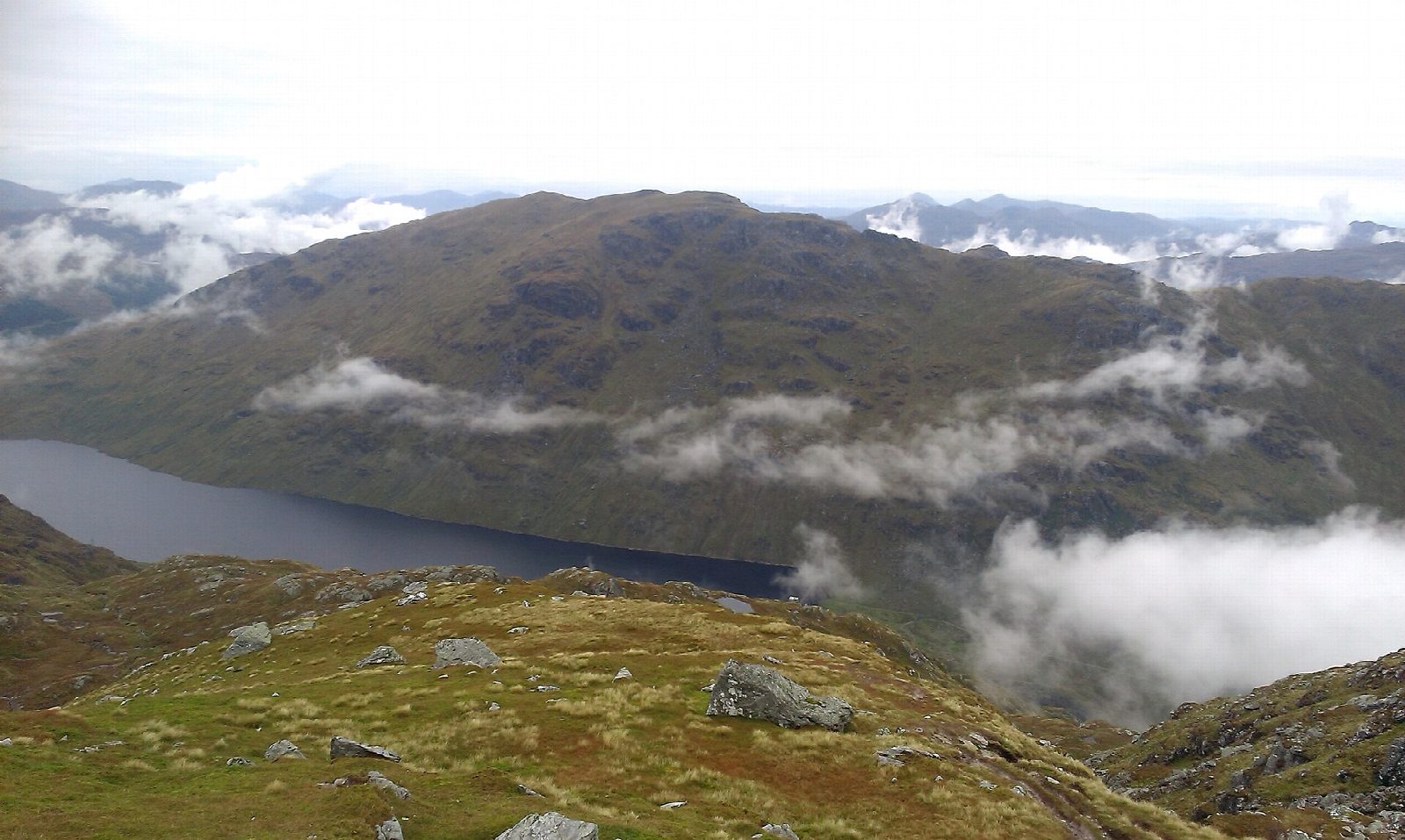
From the Inveruglas car park, cross the A82, pass the front of the power station and follow the path north, then turn left under the railway onto the hydro road. It climbs past the substation and on towards the Loch Sloy dam. Roughly 1 km before the dam, turn right onto a pitched path that climbs steeply and without a break up the grassy corrie of Lag Dubh, then by a small rocky ridge on the west side of the hill. On the broad, rocky main ridge the path reaches the trig point; the highest point (943 m) is a cairn about 200 m further on. Return the same way.
It is 13.7 km with 935 m of ascent; allow about 6¾ hours. The grade is Hard: a long walk-in and a very steep climb.
Walkhighlands describes the climb from the hydro road as unremittingly steep, with a broad rocky ridge above; in mist, take care to find the top of the descent path. Heading for the Scottish Hills gives no stalking information for this hill, so follow any local signs during the stalking season, which runs to 20 October.
The Inveruglas car park charges and has toilets. Buses on the Glasgow to Fort William route stop at Inveruglas. The nearest station is Arrochar and Tarbet, about 5.5 km away.
Route drawn by Global Adventurer along OpenStreetMap paths (© OpenStreetMap contributors, ODbL), with figures worked out from it. Check the forecast and the ground on the day: paths change.
Good to know
- The most northerly of the Arrochar Alps, a bulky, rugged Munro above Loch Lomond
- The approach follows the hydro road towards the Loch Sloy dam
- The trig point is not the highest point: the true summit is a cairn about 200 m further on
Summits on the way
- Ben Vorlich 943 m
Getting there
Start: Inveruglas visitor centre car park · Pay and display. 56.25196, -4.70863
Places to stay nearby
Rooms in and around Arrochar and Tarbet: Booking.com → Expedia →
Affiliate links: if you book, Global Adventurer earns a small commission at no cost to you.
Paths change, and the weather decides the day. The line and figures come from OpenStreetMap and our own checks; take a map, check the forecast, and turn back if it isn't right.