Line © OpenStreetMap contributors (ODbL), checked by Global Adventurer.
The walk
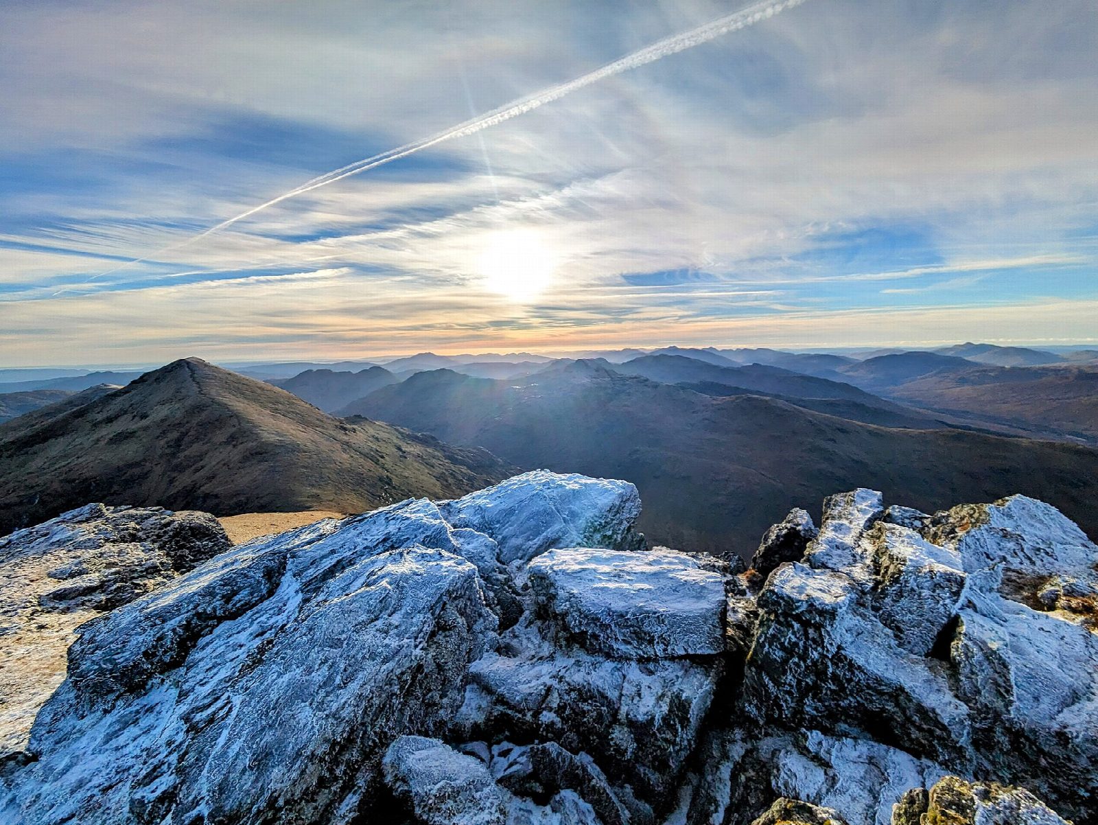
The walk starts from the roadside at Benmore Farm on the A85 and goes out and back. A farm track leads onto the hillside, and a path then climbs directly up the north-west shoulder to the summit of Ben More (1,174 m), the highest mountain in the Loch Lomond and the Trossachs National Park. About a third is on track and the rest on path, most of it rough mountain path.
The route is only 6.4 km, but it has 1,001 m of ascent and is steep almost the whole way; allow about 6 hours. The grade is Hard, and the descent is tough on the knees.
In mist the upper slopes need careful navigation, so carry a map and compass, check the forecast and use your judgement. In winter the north-west slopes are prone to avalanche and need ice axe, crampons and experience. There are no mapped water sources on the route.
There is no car park at the start; use the lay-by on the A85 at Benmore Farm, east of Crianlarich, keeping the farm access clear. Crianlarich station is about 3 km away.
Route drawn by Global Adventurer along OpenStreetMap paths (© OpenStreetMap contributors, ODbL), with figures worked out from it. Check the forecast and the ground on the day: paths change.
Good to know
- The highest mountain in the Loch Lomond and the Trossachs National Park
- A relentlessly steep climb from almost road level
- Avalanche-prone north-west slopes in winter
Summits on the way
- Ben More 1,174 m
Getting there
Start: Benmore Farm (lay-by on the A85). 56.39800, -4.57270
By train: Crianlarich station is 2.9 km from the start.
Places to stay nearby
Rooms in and around Crianlarich: Booking.com → Expedia →
Affiliate links: if you book, Global Adventurer earns a small commission at no cost to you.
Paths change, and the weather decides the day. The line and figures come from OpenStreetMap and our own checks; take a map, check the forecast, and turn back if it isn't right.
