Line © OpenStreetMap contributors (ODbL), checked by Global Adventurer.
The walk
The walk starts from the car park at Rowardennan on the east shore of Loch Lomond and makes a circuit. After a short way north along the loch, it climbs the Ptarmigan ridge to Ptarmigan (731 m) and continues to the summit of Ben Lomond (974 m), Scotland's most southerly Munro. The return is by the main path. Most of the route is on path, with some track near the loch.
It is 11.5 km with 984 m of ascent; allow about 6½ hours. The grade is Hard: the Ptarmigan side is rougher than the main path and the final climb is steep. There are steep drops near the summit, so take care in mist; carry a map and compass, check the forecast and use your judgement. In winter the upper ridge holds snow and ice. There is a drinking-water tap near the start.
Rowardennan is at the end of the east Loch Lomond road, and the car park charges a fee. Arrochar and Tarbet station is about 8 km away in a straight line, but on the far side of the loch.
Route drawn by Global Adventurer along OpenStreetMap paths (© OpenStreetMap contributors, ODbL), with figures worked out from it. Check the forecast and the ground on the day: paths change.
Good to know
- Scotland's most southerly Munro
- Up by the quieter Ptarmigan ridge, down by the main path
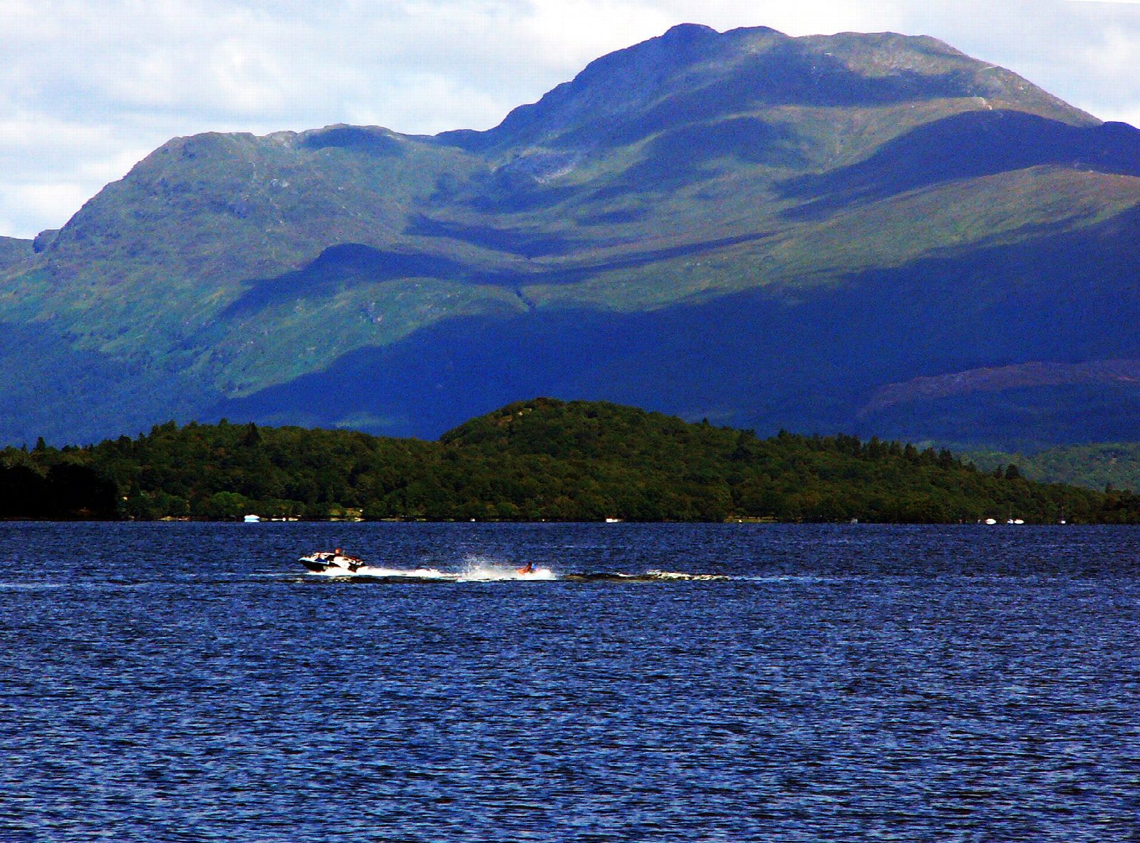
- Views over Loch Lomond and its islands
- National Trust for Scotland property
Summits on the way
- Tom Fithich · passed close by
- Ptarmigan 731 m
- Ben Lomond 974 m
Getting there
Start: Rowardennan · Pay and display. 56.15238, -4.64227
Places to stay nearby
Rooms in and around Loch Lomond and the Trossachs: Booking.com → Expedia →
Affiliate links: if you book, Global Adventurer earns a small commission at no cost to you.
Paths change, and the weather decides the day. The line and figures come from OpenStreetMap and our own checks; take a map, check the forecast, and turn back if it isn't right.