Line © OpenStreetMap contributors (ODbL), checked by Global Adventurer.
The walk
From the Ben A'an car park beside Loch Achray, cross the A821 and take the path up through the trees. It climbs steeply beside a burn, crossing it on a footbridge and later on a stepping stone, into a felled area where the pointed summit comes into view. Keep straight on at a crossroads of paths. The path swings right towards the gap beside the summit crags, climbs steeply and rockily round the back of the hill, and reaches the top over one last rocky section. Return the same way.
It is 3.7 km with 349 m of ascent; allow about 2¼ hours. The grade is Easy: short, but steep throughout and rocky near the top.
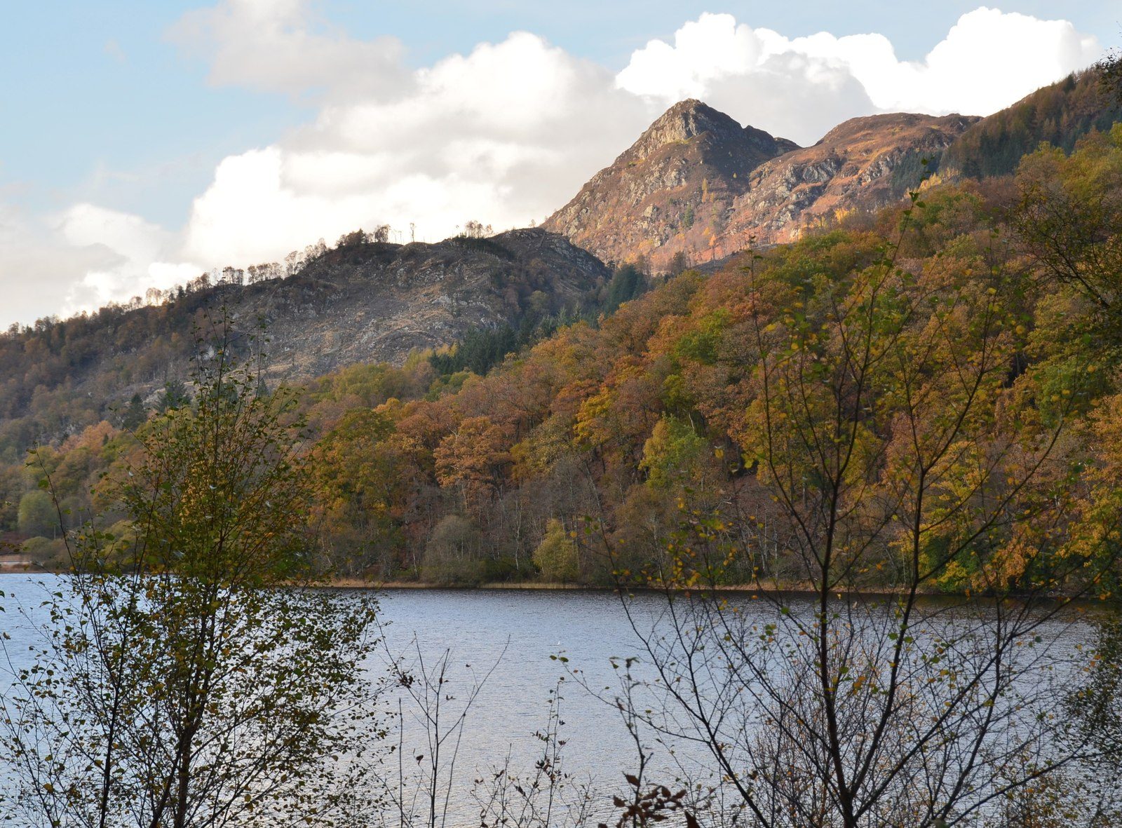
Ben A'an (454 m) is a rocky pyramid on the shoulder of the higher Meall Gainmheich. The summit looks along almost the whole of Loch Katrine to Ben Lomond, and down on Loch Achray and Ben Venue. Take care on the rocky top in the wet. Heading for the Scottish Hills lists the hill as Forestry and Land Scotland ground with no stalking issues.
The car park charges (£5 for the day, Forestry and Land Scotland) and fills early on fine weekends; the Ben Venue car park, 450 m along the road towards Aberfoyle, is the nearest alternative. The seasonal Trossachs Explorer bus stops nearby.
Route drawn by Global Adventurer along OpenStreetMap paths (© OpenStreetMap contributors, ODbL), with figures worked out from it. Check the forecast and the ground on the day: paths change.
Good to know
- Often called the mountain in miniature: a rocky pyramid on the shoulder of Meall Gainmheich
- The summit looks along almost the whole of Loch Katrine to Ben Lomond
- A rebuilt path climbs steeply through forest and over a footbridge
Summits on the way
- Ben A'an 454 m
Getting there
Start: Ben A'an car park, A821 by Loch Achray · Pay and display. 56.23226, -4.40604
Places to stay nearby
Rooms in and around Ben A'an car park: Booking.com → Expedia →
Affiliate links: if you book, Global Adventurer earns a small commission at no cost to you.
Paths change, and the weather decides the day. The line and figures come from OpenStreetMap and our own checks; take a map, check the forecast, and turn back if it isn't right.