Line © OpenStreetMap contributors (ODbL), checked by Global Adventurer.
The walk
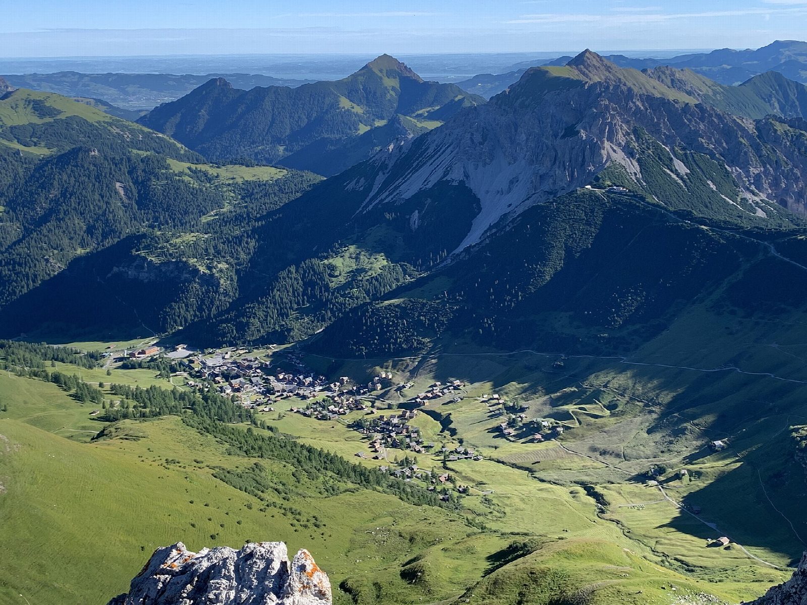
From the top of the Sareis chairlift above Malbun, the path follows the ridge along the border with Austria south to the Sareiser Joch. It climbs on over grassy and stony slopes to the Augstenberg, about 2,359 m, the highest point, with views over the Rhine valley to the Swiss Alps and east into the Montafon. It then drops to the Pfälzerhütte, the Alpine club's hut on the Bettlerjoch, and returns north over the Tälihöhi and down through the pastures to Malbun.
It is 10.3 km one way with 488 m of ascent and 879 m of descent; allow about 4½ hours. The grade is Moderate: marked mountain paths, narrow and stony on the ridge, with a long descent.
The ridge is open to the weather: turn back if storms are forecast. The path is named after Princess Gina of Liechtenstein. Snow can lie on the north slopes into early summer and come again in October. The Pfälzerhütte serves food and drink in the summer season.
Malbun is reached by bus from Vaduz, with car parks in the village. The Sareis chairlift runs from Malbun in summer and winter; check its timetable.
Route drawn by Global Adventurer along OpenStreetMap paths (© OpenStreetMap contributors, ODbL), with figures worked out from it. Check the forecast and the ground on the day: paths change.
Good to know
- Along the ridge on the border with Austria from Sareis over the Augstenberg, about 2,359 m, the highest point of the walk
- Down to the Pfälzerhütte on the Bettlerjoch, then back over the Tälihöhi to Malbun
- The ridge path is named after Princess Gina of Liechtenstein
- The Sareis chairlift runs from Malbun in summer; Malbun is reached by bus from Vaduz
Summits on the way
- Spitz 2,187 m · passed close by
- Augstenberg 2,359 m
Getting there
Start: Sareis, top station of the chairlift from Malbun. 47.10291, 9.61953
Places to stay nearby
Rooms in and around Sareis: Booking.com → Expedia →
Affiliate links: if you book, Global Adventurer earns a small commission at no cost to you.
Paths change, and the weather decides the day. The line and figures come from OpenStreetMap and our own checks; take a map, check the forecast, and turn back if it isn't right.