Line © OpenStreetMap contributors (ODbL), checked by Global Adventurer.
The walk
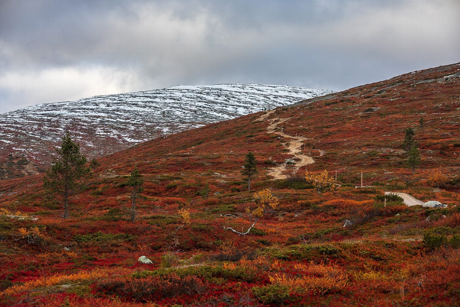
From the car park by Hotel Pallas, take the marked Taivaskeron kierros path north, climbing gently past the memorials at the site of the old Pallas hotel. Keep right of Porokämppä, an old reindeer herders' hut, and climb steadily north to the saddle of Taivaskeronsatula. Turn left up the fell path to the boulder top of Taivaskero. Carry on south-west over steep, stony ground by Liisansatula onto Laukukero, then go straight down the front ski slope to the car park. The loop goes anticlockwise.
It is 8.5 km round with 402 m of ascent; allow about 3 hours. The grade is Moderate: a steady climb on a clear path, then boulder fields and a steep, rocky stretch on open fell.
This is a summer trail. From about October the tops can be snowy, icy and in cloud, and the path hard to follow; in winter part of the line is a ski track across the slopes, where walking is not allowed. Weather on the bare fells changes fast. In wet weather Metsähallitus advises coming back from Taivaskero the same way. Reindeer graze freely: give them room.
The car park is free. A bus from Muonio to Hetta stops at the car park. The nearest railway station is Kolari, about 35 km away.
Route drawn by Global Adventurer along OpenStreetMap paths (© OpenStreetMap contributors, ODbL), with figures worked out from it. Check the forecast and the ground on the day: paths change.
Good to know
- Taivaskero (809 m) is the highest of the Pallas fells; the flame for the 1952 Helsinki Olympics was lit on its top
- The loop climbs past the memorials at the site of the old Pallas hotel and an old reindeer herders' hut
- Pallas-Yllästunturi, founded in 1938, is Finland's third largest national park
- A bus from Muonio stops at the car park
Summits on the way
- Taivaskero 809 m
Getting there
Start: Pallastunturi car park. 68.04609, 24.06331
Places to stay nearby
Rooms in and around Lapland: Booking.com → Expedia →
Affiliate links: if you book, Global Adventurer earns a small commission at no cost to you.
Paths change, and the weather decides the day. The line and figures come from OpenStreetMap and our own checks; take a map, check the forecast, and turn back if it isn't right.