Line © OpenStreetMap contributors (ODbL), checked by Global Adventurer.
The walk
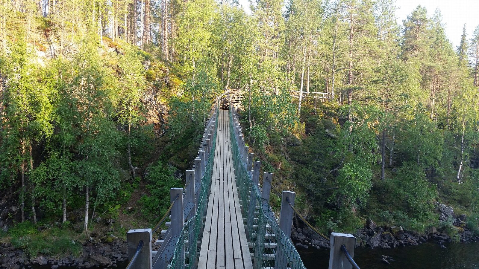
From the Juuma car park go through the wooden gate and follow the green markers down steep steps to the Niskakoski suspension bridge. Cross it and walk on to the old mill at Myllykoski, where the loop begins. Go anticlockwise, as Metsähallitus suggests: stay on this bank and follow the long Aallokkokoski rapids to the Jyrävä waterfall. Carry on along the river to Harrisuvanto and cross the longest of the suspension bridges. Climb about 300 steps to the Kallioportti lookout, then follow paths and duckboards past Pyöreälampi pond to the Myllykoski suspension bridge. Cross it and walk back to Juuma the way you came.
It is 11.8 km round with 214 m of ascent; allow about 3½ hours. The grade is Moderate: clear paths and duckboards, but long, steep wooden stairs down to the river and up again.
The stairs are slippery when wet, and in winter, when the loop usually stays open, packed snow makes them worse: take ice grips. The Myllykoski bridge takes at most 10 people at a time. After Harrisuvanto keep to the path: the Juuman vuomat area beside it is closed to visitors from April to December. The toilets at the start open only from June to September.
Metsähallitus lists no parking fee. Seasonal buses from Kuusamo, Ruka and Salla stop about 150 m from the car park; otherwise take a taxi.
Route drawn by Global Adventurer along OpenStreetMap paths (© OpenStreetMap contributors, ODbL), with figures worked out from it. Check the forecast and the ground on the day: paths change.
Good to know
- The old mill at Myllykoski stands beside the Kitkajoki rapids
- Jyrävä falls about nine metres in a short, wild drop
- Three suspension bridges cross the river; the Myllykoski bridge was rebuilt in 2022
- This is the short loop; the 82 km Karhunkierros shares part of the way and is marked in orange
Getting there
Start: Juuma car park. 66.27033, 29.40105
Places to stay nearby
Rooms in and around Lapland: Booking.com → Expedia →
Affiliate links: if you book, Global Adventurer earns a small commission at no cost to you.
Paths change, and the weather decides the day. The line and figures come from OpenStreetMap and our own checks; take a map, check the forecast, and turn back if it isn't right.