Line © OpenStreetMap contributors (ODbL), checked by Global Adventurer.
The hike
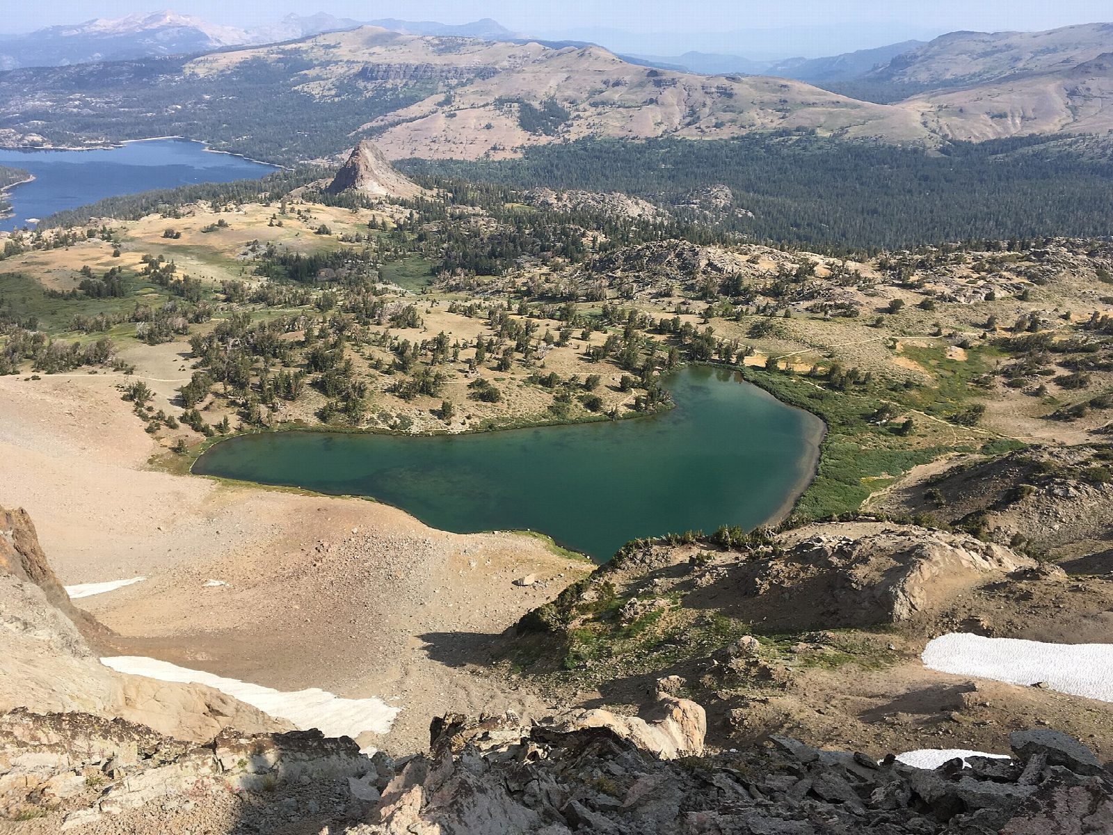
The walk starts at the Carson Pass trailhead on Highway 88, in the parking lot on the south side of the pass beside the Carson Pass Information Station. The Pacific Crest Trail heads south through forest into the Mokelumne Wilderness and, in just under a mile, passes Frog Lake, a few steps off the trail. Soon after, the Pacific Crest Trail turns away and this route keeps on across open slopes to Winnemucca Lake, 2.5 miles from the pass, under the dark peak of Round Top. A further mile, steeper, climbs to Round Top Lake. Return the same way.
It is 7.0 miles (11.3 km) round trip with 890 feet (272 m) of climbing; allow about 3½ hours. The grade is Moderate: a gentle trail to Winnemucca Lake, then a steeper climb, all above 8,500 feet.
No permit is needed for a day hike. Parking at the pass costs $5 a day from June to October, or an interagency pass; from November to May it is a Sno-Park and needs a Sno-Park permit. Dogs must be on a leash. Campfires are not allowed anywhere in the wilderness. The flowers are at their best in July.
Highway 88 is kept open all year, but the trail is under snow from late fall to early summer.
Route drawn by Global Adventurer along OpenStreetMap paths (© OpenStreetMap contributors, ODbL), with figures worked out from it. Check the forecast and the ground on the day: paths change.
Good to know
- One of the finest wildflower walks in the Sierra, at its best from July
- Both lakes lie under the dark volcanic peak of Round Top
- There is a parking fee at the pass, with a small information station
Getting there
Start: Carson Pass Trailhead · Parking fee. 38.69517, -119.98946
Places to stay nearby
Rooms in and around Lake Tahoe: Booking.com → Expedia →
Affiliate links: if you book, Global Adventurer earns a small commission at no cost to you.
Paths change, and the weather decides the day. The line and figures come from OpenStreetMap and our own checks; take a map, check the forecast, and turn back if it isn't right.

