Line © OpenStreetMap contributors (ODbL), checked by Global Adventurer.
The hike
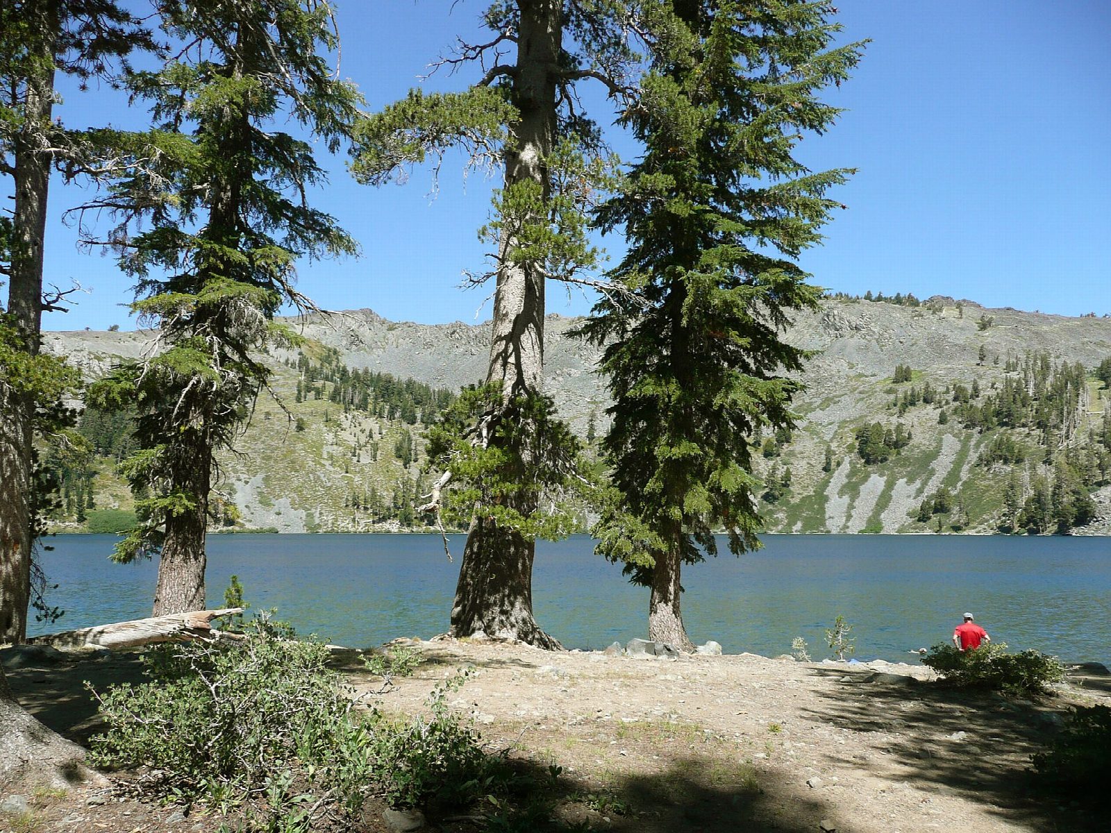
The walk starts at the Glen Alpine Trailhead, by Lily Lake, at the end of the narrow road past Fallen Leaf Lake. The first mile follows a rough, gated dirt road past Modjeska Falls and a few cabins to the old Glen Alpine Springs resort. From there the Glen Alpine Trail climbs into the Desolation Wilderness, passing the turning for Grass Lake and, higher up, those for Susie Lake and Half Moon Lake. Join the Pacific Crest Trail for the last climb, then take the Mount Tallac trail for a few minutes to Gilmore Lake. Return the same way.
It is 8.3 miles (13.4 km) round trip with 1,750 feet (533 m) of climbing; allow about 5 hours. The grade is Moderate: a steady climb on a rocky trail.
Fill in a free Desolation Wilderness day permit at the kiosk at the trailhead. There is no fee to park, but space is limited. Fallen Leaf Road is a narrow, one-lane road shared with walkers and cyclists: drive it slowly. There is no drinking water at the trailhead. Campfires are not allowed in the wilderness.
Parking here is seasonal: the road is not kept open in winter, and the upper trail holds snow into early summer.
Route drawn by Global Adventurer along OpenStreetMap paths (© OpenStreetMap contributors, ODbL), with figures worked out from it. Check the forecast and the ground on the day: paths change.
Good to know
- Reached by a narrow road past Fallen Leaf Lake and Glen Alpine Falls
- Climbs into the Desolation Wilderness to a lake under the back of Mount Tallac
- Wilderness day permits are self-issued at the trailhead; parking is limited
Getting there
Start: Glen Alpine Trailhead. 38.87716, -120.08021
Places to stay nearby
Rooms in and around Lake Tahoe: Booking.com → Expedia →
Affiliate links: if you book, Global Adventurer earns a small commission at no cost to you.
Paths change, and the weather decides the day. The line and figures come from OpenStreetMap and our own checks; take a map, check the forecast, and turn back if it isn't right.