Line © OpenStreetMap contributors (ODbL), checked by Global Adventurer.
The hike
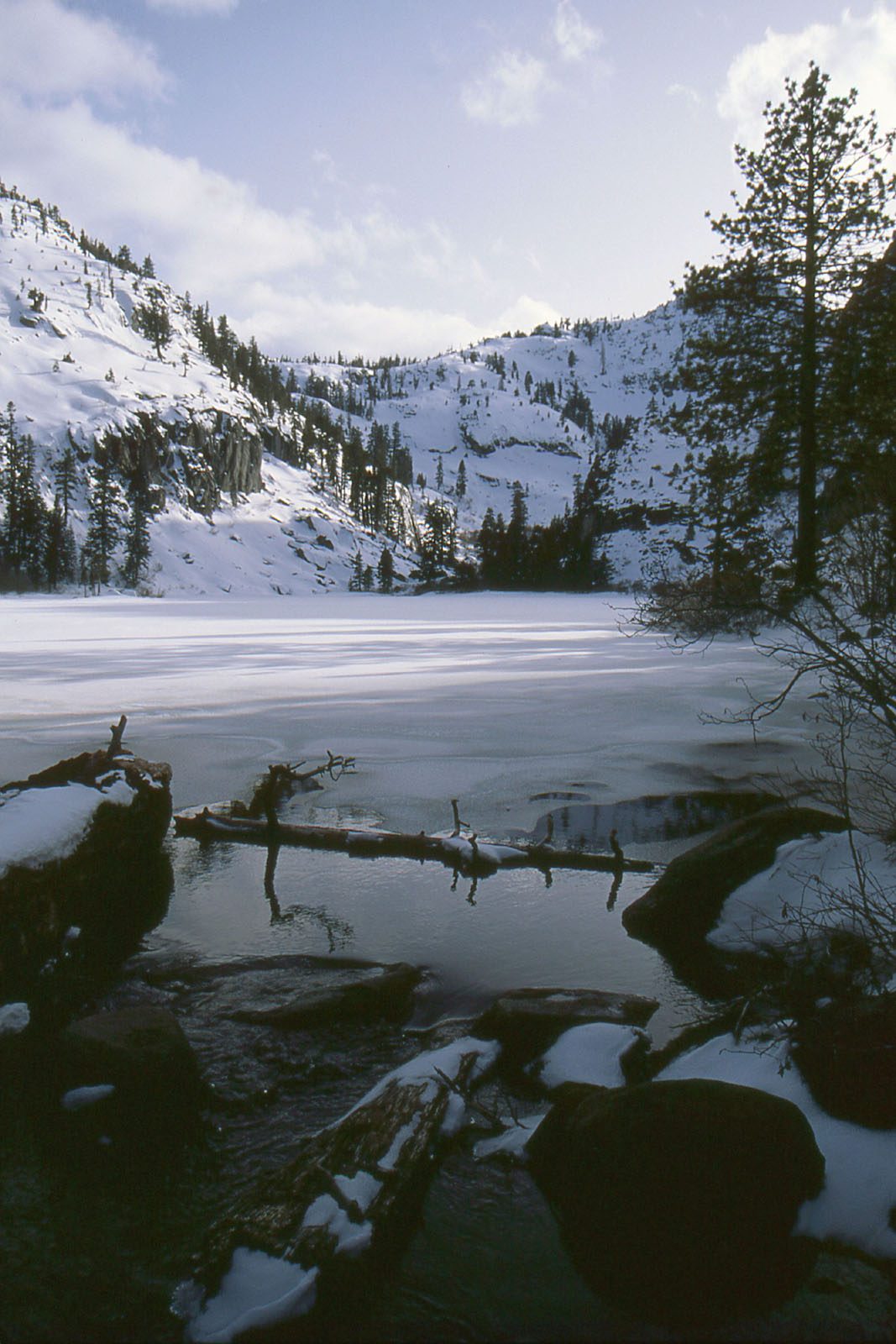
The walk starts at the Eagle Falls Trailhead on Highway 89, at the head of Emerald Bay, about 9 miles northwest of South Lake Tahoe. Stone steps climb from the picnic area to the bridge over Eagle Creek, above the upper falls. The trail then enters the Desolation Wilderness and climbs over granite and through open forest, with views back to Emerald Bay and Lake Tahoe. After about a mile a short side trail leads down to the shore of Eagle Lake, under high cliffs. Return the same way.
It is 2.2 miles (3.5 km) round trip with 380 feet (115 m) of climbing; allow about an hour. The grade is Easy: short, though the steps and slabs are rough underfoot.
Fill in a free Desolation Wilderness day permit at the box at the trailhead. Parking in the trailhead lot costs $5 a vehicle; it is small, and extremely crowded at weekends. Do not park on the shoulder of Highway 89, where cars are ticketed and towed. In summer a shuttle bus has run to Emerald Bay from late June to early September. Dogs must be on a leash.
The trailhead parking is normally open from mid May to mid October; in 2026 it closes on November 15. The trail holds snow and ice in winter and spring.
Route drawn by Global Adventurer along OpenStreetMap paths (© OpenStreetMap contributors, ODbL), with figures worked out from it. Check the forecast and the ground on the day: paths change.
Good to know
- A short, busy climb above Eagle Falls to a lake under granite cliffs
- The trailhead car park is small, charges a fee and fills early in summer
- Needs a free Desolation Wilderness day permit, filled in at the trailhead
Getting there
Start: Eagle Falls Trailhead. 38.95192, -120.11293
Places to stay nearby
Rooms in and around Lake Tahoe: Booking.com → Expedia →
Affiliate links: if you book, Global Adventurer earns a small commission at no cost to you.
Paths change, and the weather decides the day. The line and figures come from OpenStreetMap and our own checks; take a map, check the forecast, and turn back if it isn't right.
