Line © OpenStreetMap contributors (ODbL), checked by Global Adventurer.
The hike
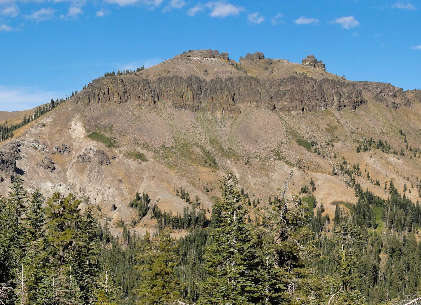
The walk starts where the pavement ends on Castle Valley Road, on the north side of Interstate 80 at the Castle Peak and Boreal exit. Walk up the dirt road through Castle Valley, past the turning for the Hole in the Ground Trail, to Castle Pass, where the Pacific Crest Trail crosses. From the pass an unofficial but well-worn path climbs the west ridge, steeply and on loose ground, to the summit crags at about 9,100 feet. The last few yards to the highest point are a rocky scramble with drops. Return the same way.
It is 5.8 miles (9.4 km) round trip with 1,620 feet (493 m) of climbing; allow about 4 hours. The grade is Hard: half of it is an easy road, but the ridge is steep and loose and ends in a scramble.
No permit is needed and there is no fee in summer. Parking at the end of the pavement is limited; the Forest Service trailhead, with a toilet, is on the south side of the freeway, and the Pacific Crest Trail passes under the road from there. There is no water. Stop below the summit rocks if you are not happy scrambling.
From November to May the area is under snow and the trailhead is a Sno-Park, where a permit is needed to park. Snow can lie on the upper ridge into early July.
Route drawn by Global Adventurer along OpenStreetMap paths (© OpenStreetMap contributors, ODbL), with figures worked out from it. Check the forecast and the ground on the day: paths change.
Good to know
- A volcanic summit crowned with towers, the high point of the Donner Summit area
- The final climb to the top is a rocky scramble with drops
- Starts just north of Interstate 80 at the Castle Peak exit
Summits on the way
- Castle Peak 9,098 ft (2,773 m)
Getting there
Start: Castle Peak Trailhead. 39.34083, -120.34764
Places to stay nearby
Rooms in and around Lake Tahoe: Booking.com → Expedia →
Affiliate links: if you book, Global Adventurer earns a small commission at no cost to you.
Paths change, and the weather decides the day. The line and figures come from OpenStreetMap and our own checks; take a map, check the forecast, and turn back if it isn't right.