Line © OpenStreetMap contributors (ODbL), checked by Global Adventurer.
The walk
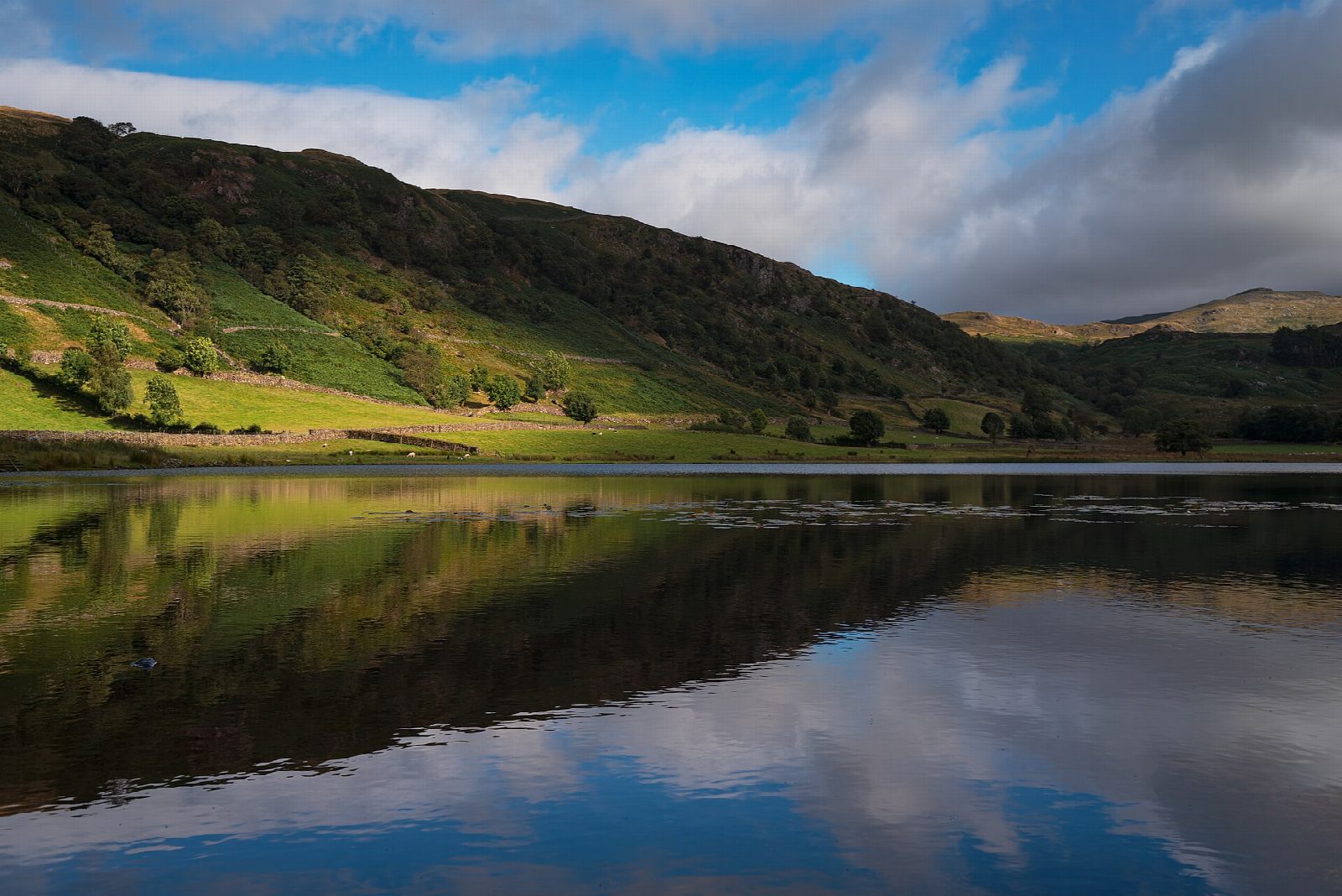
The walk starts from the National Trust car park in Rosthwaite. It crosses the beck and climbs the old packhorse track to Watendlath, a hamlet by its tarn in a hanging valley 258 m up. From the tarn a path heads south over rough moor to Dock Tarn, ringed with heather, and passes along its western side. A steep pitched path then drops through the oak wood of Lingy End to Stonethwaite Beck, which leads back to Rosthwaite.
It is 8.2 km with 395 m of ascent; allow about 3 hours. The grade is Moderate: one long climb, a steep descent and rough, boggy ground.
The ground between Watendlath and Dock Tarn is often very boggy, and the path is faint in places, so take a map in poor visibility. The descent through Lingy End is steep and stony. Watendlath is in the care of the National Trust; the name comes from Old Norse.
The Rosthwaite car park charges non-members of the National Trust and has toilets nearby. The 78 bus stops in the village.
Route drawn by Global Adventurer along OpenStreetMap paths (© OpenStreetMap contributors, ODbL), with figures worked out from it. Check the forecast and the ground on the day: paths change.
Good to know
- By the old packhorse track to the hamlet of Watendlath and its tarn
- Over boggy moor to heather-fringed Dock Tarn, down a pitched path through Lingy End oak wood
- Watendlath sits in a hanging valley 258 m up; the name is Old Norse
Getting there
Start: Rosthwaite National Trust car park · Pay and display. 54.52350, -3.14851
Places to stay nearby
Rooms in and around Windermere: Booking.com → Expedia →
Affiliate links: if you book, Global Adventurer earns a small commission at no cost to you.
Paths change, and the weather decides the day. The line and figures come from OpenStreetMap and our own checks; take a map, check the forecast, and turn back if it isn't right.

