Line © OpenStreetMap contributors (ODbL), checked by Global Adventurer.
The walk
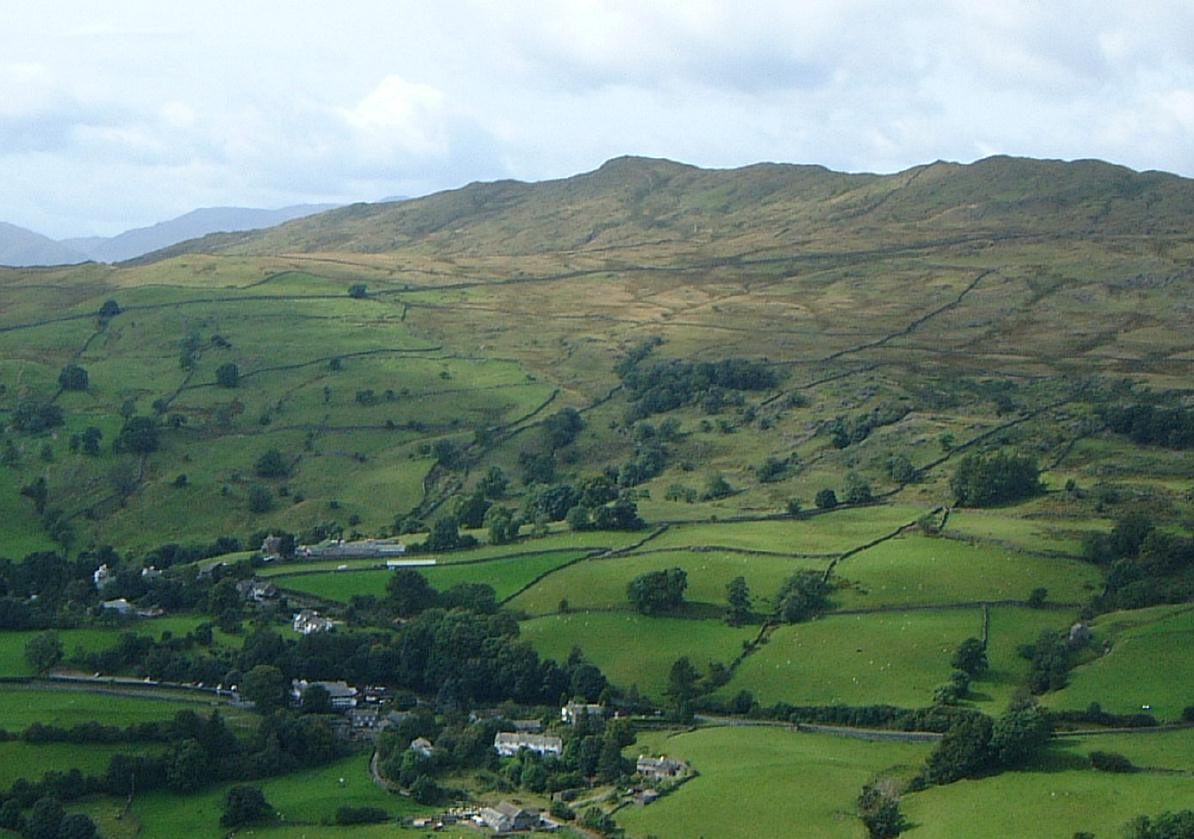
The walk starts from the Rydal Road car park in Ambleside. Lanes lead south out of the town to Skelghyll Wood, where the path climbs past Jenkin Crag, with its view over Windermere, to High Skelghyll farm. Tracks and lanes continue to Troutbeck village. From Troutbeck the walled Nanny Lane climbs onto the fell, and a path leads to the summit of Wansfell Pike, looking over Ambleside. A steep path drops back to the town past the falls of Stock Ghyll Force.
It is 10.1 km with 567 m of ascent; allow about 4¼ hours. The grade is Moderate: one long climb and a steep descent.
The descent from Wansfell Pike is steep, rocky and uneven, and muddy in places. Keep dogs on leads near livestock. In Troutbeck, Townend, the Browne family's farmhouse for more than 400 years, is a short detour from the route.
The Rydal Road car park charges a fee. Frequent buses run to Ambleside from Windermere station.
Route drawn by Global Adventurer along OpenStreetMap paths (© OpenStreetMap contributors, ODbL), with figures worked out from it. Check the forecast and the ground on the day: paths change.
Good to know
- Through Skelghyll Wood and past Jenkin Crag to Troutbeck, back over Wansfell Pike
- Down past Stock Ghyll Force into Ambleside
- Townend in Troutbeck was the Browne family's farmhouse for more than 400 years
Summits on the way
- Wansfell Pike 484 m
Getting there
Start: Rydal Road car park, Ambleside · Pay and display. 54.43370, -2.96473
Places to stay nearby
Rooms in and around Rydal Road car park: Booking.com → Expedia →
Affiliate links: if you book, Global Adventurer earns a small commission at no cost to you.
Paths change, and the weather decides the day. The line and figures come from OpenStreetMap and our own checks; take a map, check the forecast, and turn back if it isn't right.

