Line © OpenStreetMap contributors (ODbL), checked by Global Adventurer.
The walk
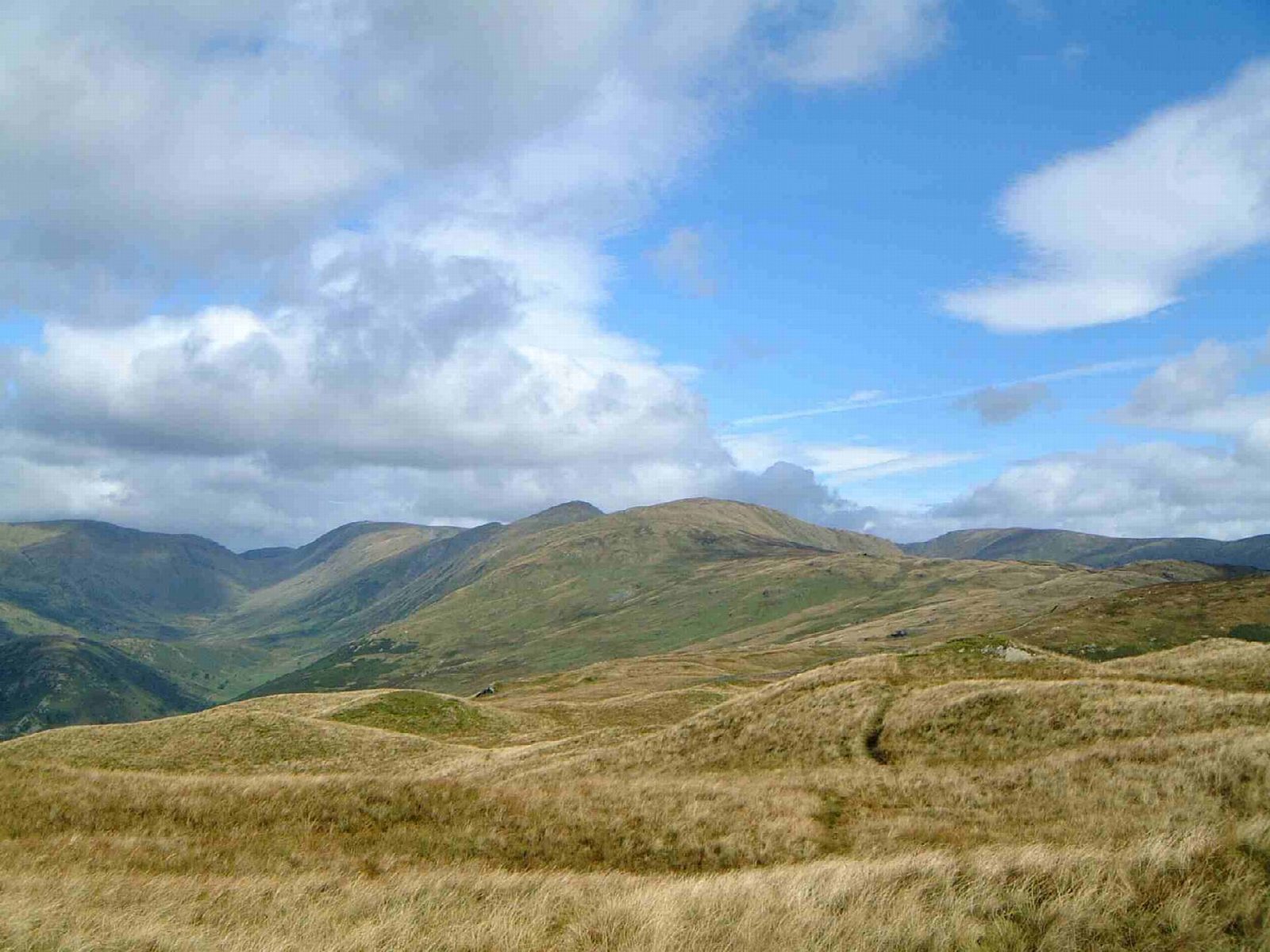
The walk starts from the small car park in Kentmere village. It climbs the old Garburn Pass, then heads north up the ridge over Yoke, Ill Bell and Froswick to the tall beacon on Thornthwaite Crag. The route turns east over Mardale Ill Bell to Nan Bield Pass, climbs Harter Fell and follows the fence south over Kentmere Pike. It descends over Shipman Knotts to the valley track and back through the fields to Kentmere.
It is 22.5 km with 1,188 m of ascent; allow about 9 hours. The grade is Strenuous: a long day over seven summits.
It is a long, remote day with few easy ways down. The descent over Shipman Knotts crosses rock slabs that are slippery in the wet, and cattle graze on Garburn Pass. Kentmere Reservoir, at the head of the valley, was dammed in 1848 to supply the mills downstream.
The car park is very small, with an honesty box; arrive early. The nearest railway station is Staveley, about 6 km away.
Route drawn by Global Adventurer along OpenStreetMap paths (© OpenStreetMap contributors, ODbL), with figures worked out from it. Check the forecast and the ground on the day: paths change.
Good to know
- The round of the Kentmere valley: Yoke, Ill Bell, Froswick, Thornthwaite Crag, Harter Fell and Kentmere Pike
- Up the old Garburn Pass, down over Shipman Knotts
- Kentmere Reservoir, at the head of the valley, was dammed in 1848 for the mills downstream
Summits on the way
- Yoke 707 m
- Ill Bell 757 m
- Froswick 720 m
- Thornthwaite Crag 784 m
- Mardale Ill Bell 761 m
- Harter Fell (Mardale) 779 m
- The Knowe 765 m · passed close by
- Brown Howe 707 m · passed close by
- Kentmere Pike 731 m
- Shipman Knotts 587 m · passed close by
- Wray Crag 474 m · passed close by
Getting there
Start: Kentmere village car park · Pay and display. 54.42957, -2.84013
Places to stay nearby
Rooms in and around Staveley: Booking.com → Expedia →
Affiliate links: if you book, Global Adventurer earns a small commission at no cost to you.
Paths change, and the weather decides the day. The line and figures come from OpenStreetMap and our own checks; take a map, check the forecast, and turn back if it isn't right.


