Line © OpenStreetMap contributors (ODbL), checked by Global Adventurer.
The walk
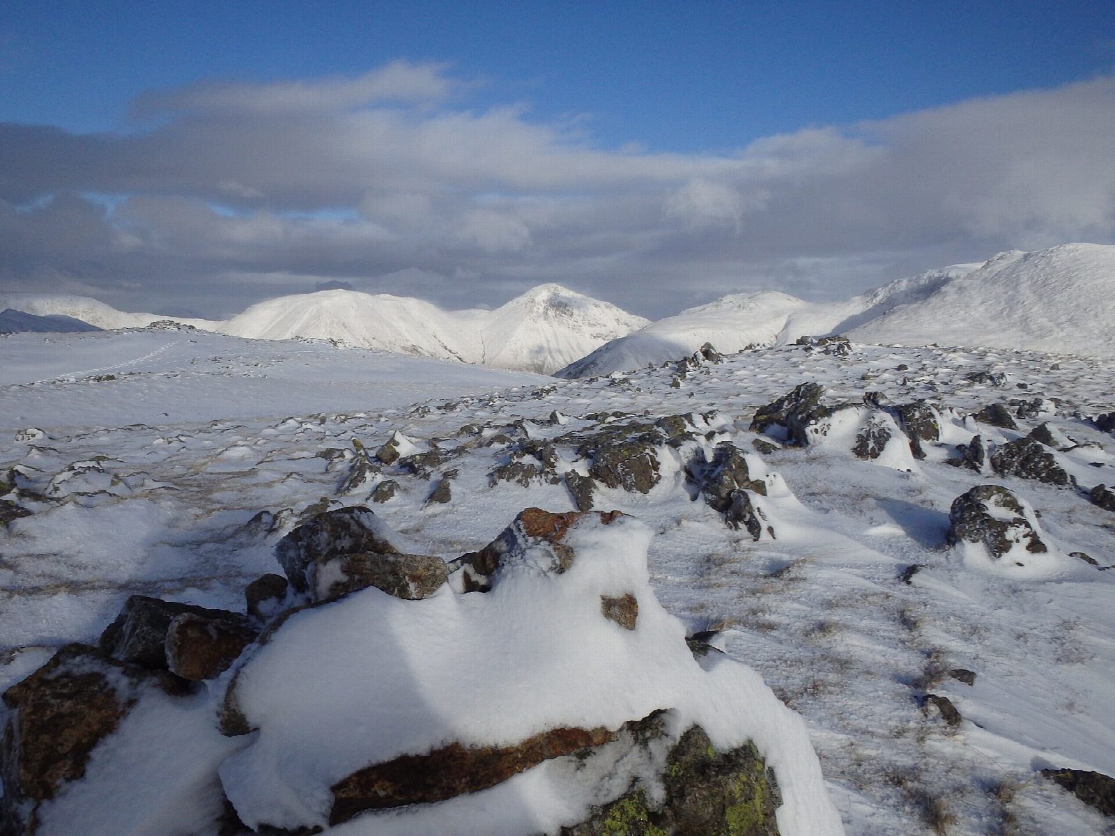
The walk starts from the National Trust's Lake Head car park at the head of Wast Water. It crosses Lingmell Gill and follows the old bridleway towards Eskdale, then climbs beside a wall to the ridge and the summit of Illgill Head. The ridge continues south-west over small tarns to Whin Rigg, with the screes falling to the lake below. A steep path drops beside Greathall Gill, and the return crosses the River Irt by Lund Bridge and follows Low Wood and the valley road back.
It is 13.8 km with 663 m of ascent; allow about 5¼ hours. The grade is Moderate: a long climb and a steep descent.
Keep away from the edge above the screes, which are crumbling. The descent beside Greathall Gill is steep. About 4 km of the return is on the quiet valley road. Cattle graze the fields, and there are two step stiles with no gaps for dogs.
The Lake Head car park charges non-members of the National Trust.
Route drawn by Global Adventurer along OpenStreetMap paths (© OpenStreetMap contributors, ODbL), with figures worked out from it. Check the forecast and the ground on the day: paths change.
Good to know
- Along the top of the Wastwater Screes, high above England's deepest lake
- Down Greathall Gill and back by Low Wood and the lakeside road
Summits on the way
- Illgill Head 609 m
- Whin Rigg (Wasdale) 537 m
Getting there
Start: Lake Head National Trust car park, Wasdale · Pay and display. 54.45599, -3.26268
Places to stay nearby
Rooms in and around Lake Head National Trust car park: Booking.com → Expedia →
Affiliate links: if you book, Global Adventurer earns a small commission at no cost to you.
Paths change, and the weather decides the day. The line and figures come from OpenStreetMap and our own checks; take a map, check the forecast, and turn back if it isn't right.

