Line © OpenStreetMap contributors (ODbL), checked by Global Adventurer.
The walk
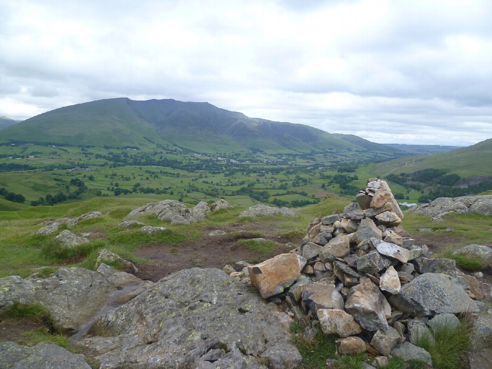
The walk starts from the Legburthwaite car park at the north end of Thirlmere. It crosses the A591 and climbs through Scots pines over Wren Crag onto High Rigg, then follows the knobbly ridge north over Long Band and Moss Crag to the summit. A path drops to the little church of St John's in the Vale. The return follows a bridleway south along the valley below the ridge, past Low Bridge End Farm, and a terrace path back to the start.
It is 8.6 km with 368 m of ascent; allow about 3 hours. The grade is Moderate: many short climbs and boggy ground.
The ridge is a maze of small knolls and boggy hollows, so take care with navigation in mist. There is a ladder stile, and cattle may be met. Thirlmere was made a reservoir for Manchester in the 1890s. The tea room at Low Bridge End Farm is on the way back.
The Legburthwaite car park charges a fee.
Route drawn by Global Adventurer along OpenStreetMap paths (© OpenStreetMap contributors, ODbL), with figures worked out from it. Check the forecast and the ground on the day: paths change.
Good to know
- Along the knobbly ridge of High Rigg between Thirlmere and Keswick
- Down to the little church of St John's in the Vale and back along the valley
- Thirlmere was made a reservoir for Manchester in the 1890s
Summits on the way
- Wren Crag 311 m · passed close by
- High Rigg SE Top 339 m · passed close by
- High Rigg [Naddle Fell] 356 m
Getting there
Start: Legburthwaite car park · Pay and display. 54.56655, -3.05663
Places to stay nearby
Rooms in and around Penrith (North Lakes): Booking.com → Expedia →
Affiliate links: if you book, Global Adventurer earns a small commission at no cost to you.
Paths change, and the weather decides the day. The line and figures come from OpenStreetMap and our own checks; take a map, check the forecast, and turn back if it isn't right.

