Line © OpenStreetMap contributors (ODbL), checked by Global Adventurer.
The walk
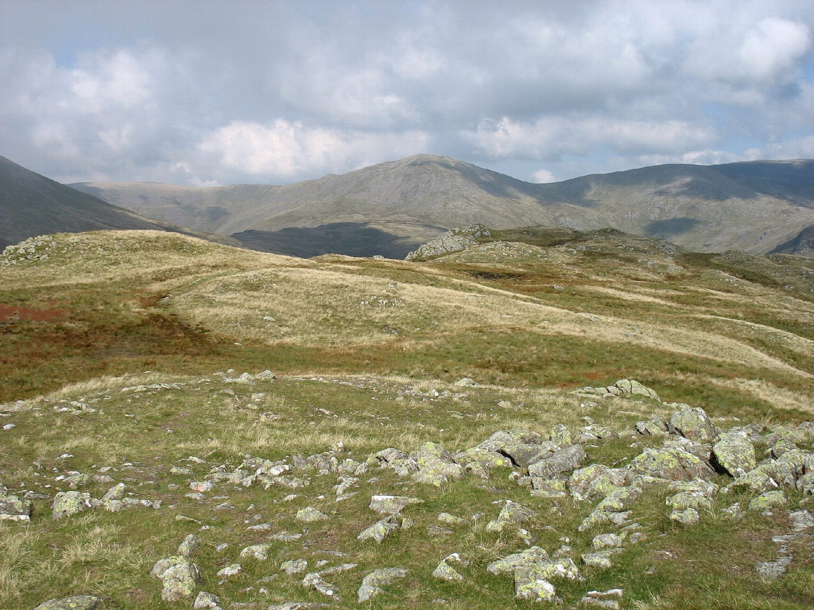
The walk starts from the parking at Greendale, on the road along Wast Water. A path climbs through bracken to a viewpoint over the lake and the Screes, then follows Greendale Gill past its pools to Greendale Tarn, tucked in a deep hollow. Beyond the tarn the route climbs east to the summit of Middle Fell, which looks up Wasdale to the Scafell range, then descends south-west, zigzagging through small crags, back to the start.
It is 5.8 km with 507 m of ascent; allow about 3½ hours. The grade is Moderate: a steady climb on rough paths.
The paths are rough, with wet ground below the tarn and a steep descent. On a clear day the Isle of Man can be seen across the sea. Look out for the rare mountain ringlet butterfly on the top in warm weather.
The roadside parking at Greendale is free, with room for about ten cars. The nearest railway station is Drigg, about 11 km away.
Route drawn by Global Adventurer along OpenStreetMap paths (© OpenStreetMap contributors, ODbL), with figures worked out from it. Check the forecast and the ground on the day: paths change.
Good to know
- Up beside the pools of Greendale Gill to quiet Greendale Tarn, back over Middle Fell
- Views across Wast Water to the Screes and up to the Scafell range
Summits on the way
- Middle Fell 582 m
Getting there
Start: Greendale car park, Wasdale · Free parking. 54.43863, -3.32061
Places to stay nearby
Rooms in and around Greendale car park: Booking.com → Expedia →
Affiliate links: if you book, Global Adventurer earns a small commission at no cost to you.
Paths change, and the weather decides the day. The line and figures come from OpenStreetMap and our own checks; take a map, check the forecast, and turn back if it isn't right.

