Line © OpenStreetMap contributors (ODbL), checked by Global Adventurer.
The walk
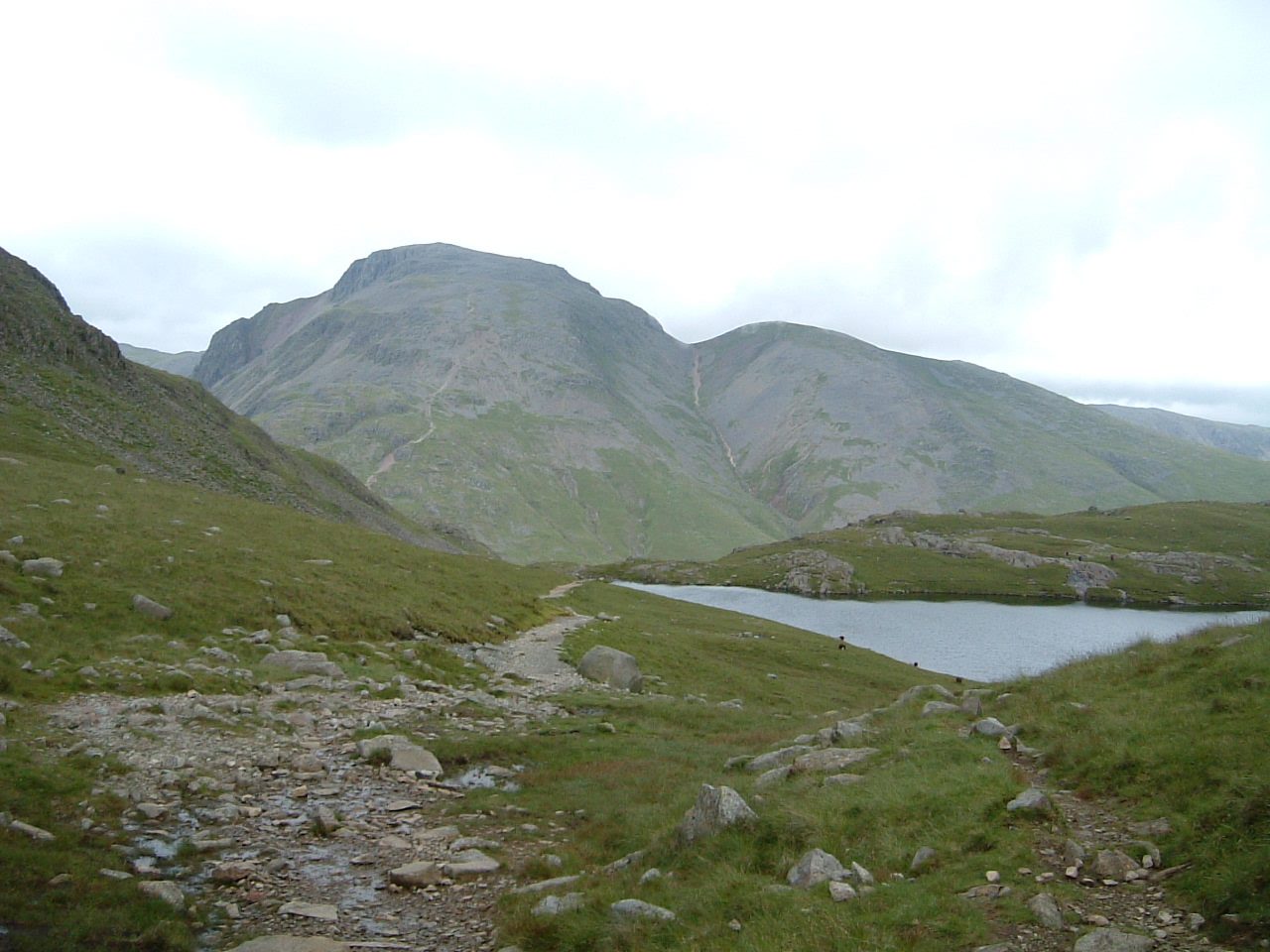
The walk starts from the car park at Seathwaite and makes a circuit. It goes up by Stockley Bridge to Sty Head, then climbs to the summit of Great Gable (899 m), where a bronze memorial to the Fell and Rock Climbing Club's war dead is set in the rocks. The return drops to Windy Gap, crosses Green Gable (800 m) and comes down by Gillercomb to Seathwaite. It is on path nearly all the way.
It is 9.7 km with 804 m of ascent; allow about 5½ hours. The grade is Hard: the path is steep, rough and rocky on the climb from Sty Head and on the way down by Gillercomb.
In mist the paths off the stony top are easy to confuse, so carry a map and compass, check the forecast and use your judgement. Winter snow and ice make it far more serious. Seathwaite is often called the wettest inhabited place in England, so come prepared for rain.
The car park charges a fee. There are no mapped water sources on the route.
Route drawn by Global Adventurer along OpenStreetMap paths (© OpenStreetMap contributors, ODbL), with figures worked out from it. Check the forecast and the ground on the day: paths change.
Good to know
- Up by Stockley Bridge and Sty Head, down by Windy Gap, Green Gable and Gillercomb
- A bronze memorial to the Fell and Rock Climbing Club's war dead is set in the summit rocks
- Seathwaite is often called the wettest inhabited place in England
Summits on the way
- Great Gable 899 m
- Green Gable 800 m
Getting there
Start: Seathwaite · Pay and display. 54.49990, -3.18236
Places to stay nearby
Rooms in and around Ravenglass: Booking.com → Expedia →
Affiliate links: if you book, Global Adventurer earns a small commission at no cost to you.
Paths change, and the weather decides the day. The line and figures come from OpenStreetMap and our own checks; take a map, check the forecast, and turn back if it isn't right.


