Line © OpenStreetMap contributors (ODbL), checked by Global Adventurer.
The walk
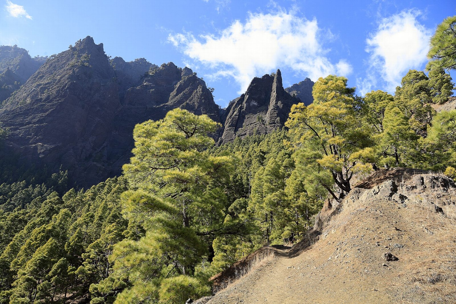
Leave the car in the Barranco de las Angustias and take one of the taxis that wait there up the long track to Los Brecitos. From the viewpoint a good path contours down through Canary pine, in and out of side ravines, to the Playa de Taburiente, the gravel bed of the river in the heart of the crater, where there is a camping area. The way out drops steeply to the stream below the rock needle of Roque Idafe; a short side trip leads up to the Cascada de Colores, a small fall stained orange and green by iron in the water. From Dos Aguas the route follows the bed of the barranco, crossing the stream again and again, back to the car park.
It is 13.7 km one way, nearly all downhill, with 1,244 m of descent; our measure is about 5½ hours of walking, but the park allows six hours or more, because the riverbed is slow going. The grade is Hard.
The park forbids the descent from the camping area when rain is forecast: the barranco floods fast and there are no bridges. Expect wet feet, loose stones and heat in the lower gorge.
The taxis run in the morning only, until about midday in winter. No permit is needed to walk; dogs are not allowed.
Route drawn by Global Adventurer along OpenStreetMap paths (© OpenStreetMap contributors, ODbL), with figures worked out from it. Check the forecast and the ground on the day: paths change.
Good to know
- Down through Canary pine into the great crater at the heart of La Palma
- Leave the car at the foot of the walk and take a taxi up to Los Brecitos, mornings only
- A side trip to the Cascada de Colores, stained orange and green by iron in the water
- The way out is down the bed of the Barranco de las Angustias: the park closes it when rain is forecast
Getting there
Start: Los Brecitos. 28.71157, -17.90062
Places to stay nearby
Rooms in and around La Palma: Booking.com → Expedia →
Affiliate links: if you book, Global Adventurer earns a small commission at no cost to you.
Paths change, and the weather decides the day. The line and figures come from OpenStreetMap and our own checks; take a map, check the forecast, and turn back if it isn't right.