Line © OpenStreetMap contributors (ODbL), checked by Global Adventurer.
The walk
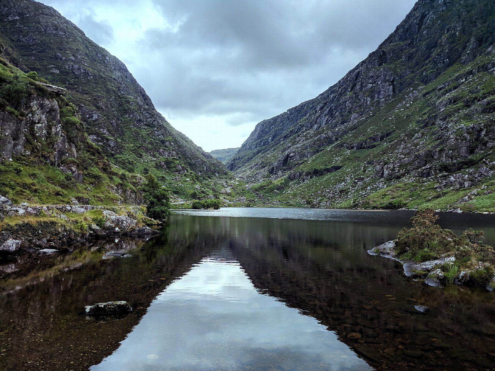
From Kate Kearney's Cottage, follow the narrow road south into the gap between the MacGillycuddy's Reeks and Purple Mountain, past a chain of small lakes and over the River Loe, climbing gently to the Head of the Gap. Zig-zag down the far side into the Black Valley, then turn east along the valley road to Lord Brandon's Cottage and its pier on the Upper Lake, where a boat crosses the Killarney lakes to Ross Castle.
It is 11.2 km one way with 232 m of ascent and 260 m of descent; allow about 3½ hours. The grade is Moderate: tarmac all the way, but long, with a steady climb to the Head of the Gap.
The boat runs from March to the end of October, in the afternoon, and must be booked; one operator charges €30 a person. In winter, or when boats are cancelled for wind or high water, walk to the Head of the Gap and back instead. The road is shared with jaunting cars, bikes and some cars: walk in single file and give the horses room.
The free car park at Kate Kearney's Cottage suits the walk to the Head of the Gap and back. For the boat, tour operators in Killarney sell a bus out and the boat back, March to October. Ross Castle is about 2.5 km from the town.
Route drawn by Global Adventurer along OpenStreetMap paths (© OpenStreetMap contributors, ODbL), with figures worked out from it. Check the forecast and the ground on the day: paths change.
Good to know
- A glacial breach between the MacGillycuddy's Reeks and the Purple Mountain group, threaded by the River Loe and a chain of small lakes
- Kate Kearney sold illicit poteen here in the 1800s; her cottage is now a pub and café
- A narrow road runs through the gap, shared with jaunting cars and bikes
- From Lord Brandon's Cottage a boat crosses the Killarney lakes to Ross Castle
Getting there
Start: Kate Kearney's Cottage car park. 52.04035, -9.63167
Places to stay nearby
Rooms in and around Killarney: Booking.com → Expedia →
Affiliate links: if you book, Global Adventurer earns a small commission at no cost to you.
Paths change, and the weather decides the day. The line and figures come from OpenStreetMap and our own checks; take a map, check the forecast, and turn back if it isn't right.