Line © OpenStreetMap contributors (ODbL), checked by Global Adventurer.
The walk
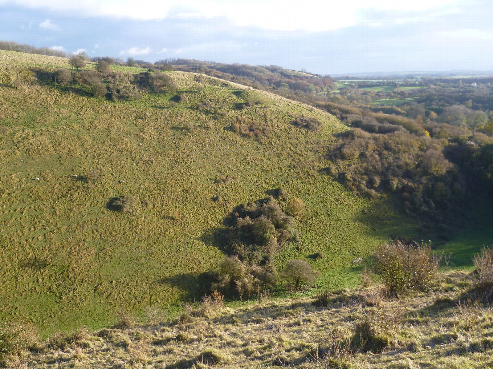
From Wye station the walk crosses the Great Stour into the village, passes the church and climbs east across the fields to the Wye Crown, a chalk crown cut into the hillside in 1902 for the coronation of Edward VII. It follows the North Downs Way south along the top of the scarp through Wye National Nature Reserve, past the rim of the Devil's Kneading Trough, a steep-sided dry valley formed by freezing and thawing at the end of the last Ice Age. It comes down towards Brook and returns across the fields to Wye.
It is 9.6 km with 138 m of ascent; allow about 3 hours. The grade is Easy. The climb to the Crown is steep but short.
The scarp slopes are steep: take care near the edge of the Trough. Cattle and sheep graze the nature reserve, so keep dogs on leads. The field paths can be muddy in winter.
The walk starts at Wye station on the Ashford to Canterbury line; Wye has a few small car parks. Wye station is at the start.
Route drawn by Global Adventurer along OpenStreetMap paths (© OpenStreetMap contributors, ODbL), with figures worked out from it. Check the forecast and the ground on the day: paths change.
Good to know
- Up to the Wye Crown, cut into the chalk in 1902 for the coronation of Edward VII
- Along the North Downs Way above the Devil's Kneading Trough, a steep dry valley
- Through Wye National Nature Reserve on the downs
- Back across the fields towards Brook and Wye
Getting there
Start: Wye station. 51.18510, 0.92930
By train: Wye station is 0.1 km from the start.
Places to stay nearby
Rooms in and around Wye: Booking.com → Expedia →
Affiliate links: if you book, Global Adventurer earns a small commission at no cost to you.
Paths change, and the weather decides the day. The line and figures come from OpenStreetMap and our own checks; take a map, check the forecast, and turn back if it isn't right.