Line © OpenStreetMap contributors (ODbL), checked by Global Adventurer.
The walk
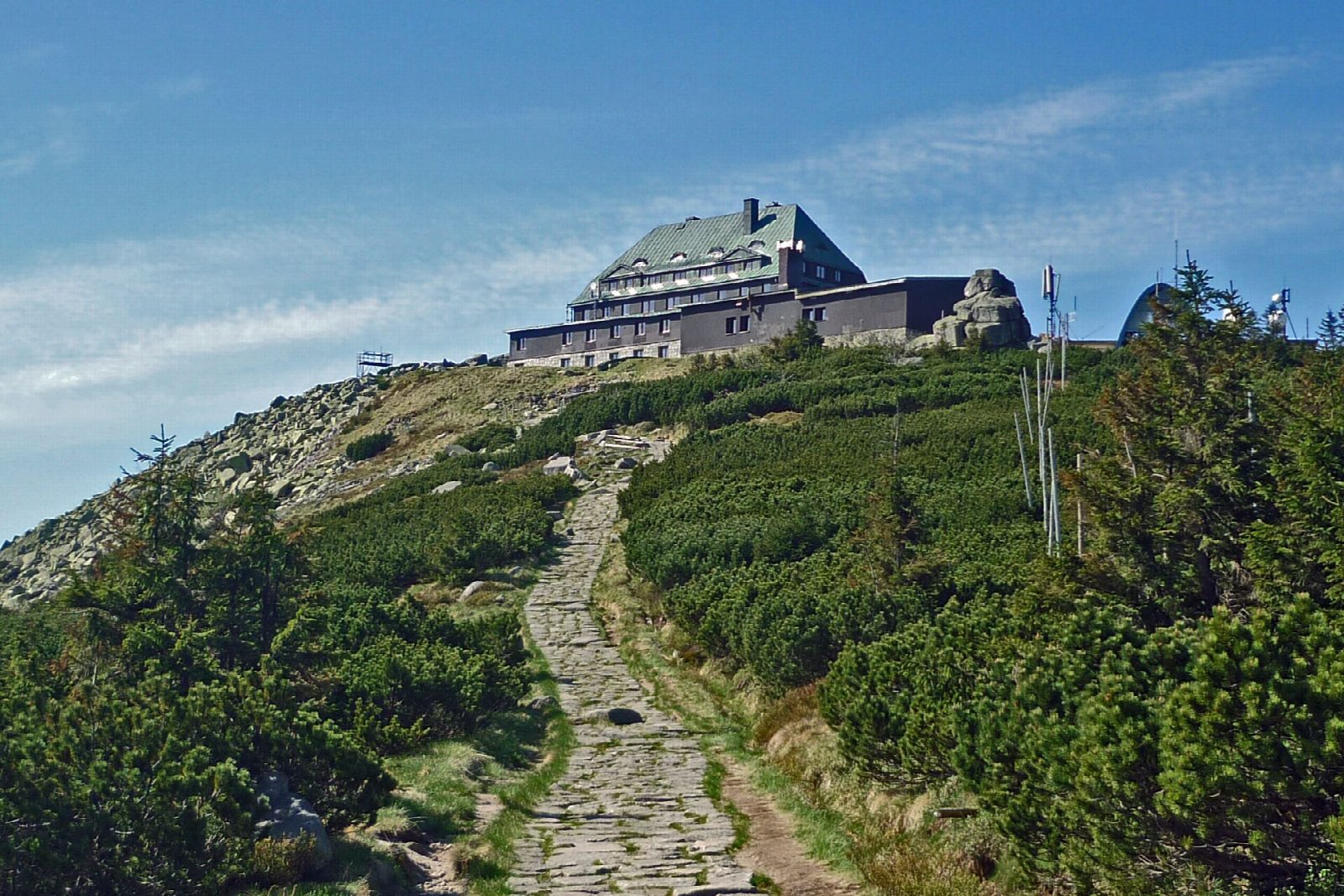
From the car park in Szklarska Poręba, walk west on forest tracks to the road at the Rozdroże pod Kamieńczykiem and follow it to Wodospad Kamieńczyka, a waterfall of about 27 m falling into a narrow gorge, beside the Kamieńczyk hostel. The road climbs on through the forest and dwarf pine, past the hostel on Hala Szrenicka, to the top of Szrenica, 1,362 m, where a hostel stands among the rocks with wide views over the Karkonosze. Return the same way.
It is 11 km there and back with 638 m of ascent; allow about 5 hours. The grade is Moderate: a steady climb on a broad, stony road.
The gorge below the falls is seen from stairs, wearing a helmet lent at the ticket office, for a separate ticket (16 zł in 2026); dogs are not allowed in it. The trail from the car park on the road to the Czech border up to the Rozdroże pod Kamieńczykiem has been closed for road works since 16 June 2026; this walk comes from the town instead. In winter Szrenica is a ski area. Entry to the national park costs 11 zł (2026).
The car park in the town charges.
Route drawn by Global Adventurer along OpenStreetMap paths (© OpenStreetMap contributors, ODbL), with figures worked out from it. Check the forecast and the ground on the day: paths change.
Good to know
- Wodospad Kamieńczyka falls about 27 m into a narrow gorge, the highest waterfall in the Polish Karkonosze
- The gorge below the falls is seen from stairs, with a helmet, for a separate ticket
- Szrenica, 1,362 m, has a hostel on its top and wide views over the Karkonosze and the Jizera Mountains
- The trail from the car park on the Czech road to the Rozdroże pod Kamieńczykiem is closed for road works; this walk comes from the town
Summits on the way
- Szrenica 1,361 m
Getting there
Start: Szklarska Poręba car park · Pay and display. 50.81851, 15.51626
Places to stay nearby
Rooms in and around Karkonosze: Booking.com → Expedia →
Affiliate links: if you book, Global Adventurer earns a small commission at no cost to you.
Paths change, and the weather decides the day. The line and figures come from OpenStreetMap and our own checks; take a map, check the forecast, and turn back if it isn't right.