Line © OpenStreetMap contributors (ODbL), checked by Global Adventurer.
The walk
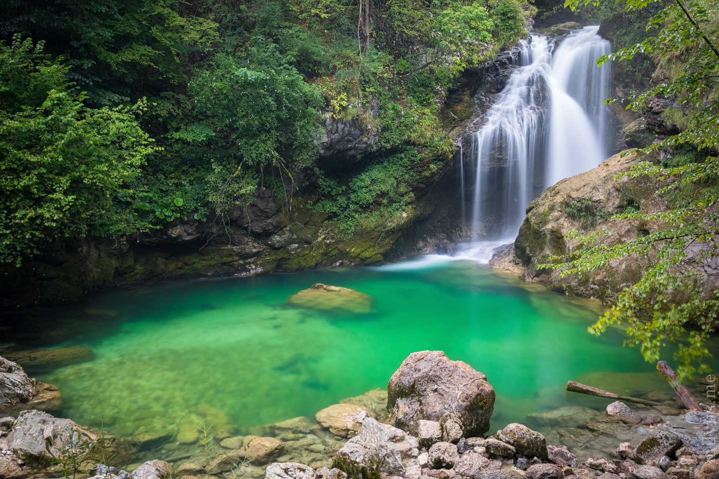
From the Vintgar visitor centre at Podhom, the one-way path enters the gorge and follows the Radovna downstream on wooden galleries and bridges fixed to the rock, past green pools and rapids between the hills of Hom and Boršt. At the far end it leaves the gorge above the Šum waterfall, where the river drops over a band of harder rock. From there the return path climbs through forest and meadow to St Catherine's church on Hom and drops back to the visitor centre.
It is 5.4 km round with 125 m of ascent; allow about 1½ hours, more in summer when the galleries are busy. The grade is Easy: good paths and boardwalks, with steps and a steady climb over Hom.
The gorge is open from April to the end of October and closed in winter. Once inside you cannot turn back, a helmet must be worn through the gorge, and swimming is not allowed. Entry is by the All-in-One Pass, €15 for adults in 2026; book a time slot online.
There is no car parking at the gorge. Park at the official car park at Lip, near Bled, where the pass includes four hours of parking and the e-shuttle to the visitor centre; the shuttle also runs from Bled bus station.
Route drawn by Global Adventurer along OpenStreetMap paths (© OpenStreetMap contributors, ODbL), with figures worked out from it. Check the forecast and the ground on the day: paths change.
Good to know
- The Radovna has cut a gorge 1.6 km long and up to 250 m deep between the hills of Hom and Boršt
- Nobody got through it until the dry winter of 1891; a guarded path has run through it since 1893
- The path through the gorge is one way: you leave it at the Šum waterfall and come back over Hom
- A helmet is compulsory in the gorge, and swimming in the river is not allowed
Getting there
Start: Podhom, Vintgar visitor centre. 46.39394, 14.08582
By train: Vintgar station is 2.1 km from the start.
Places to stay nearby
Rooms in and around Podhom: Booking.com → Expedia →
Affiliate links: if you book, Global Adventurer earns a small commission at no cost to you.
Paths change, and the weather decides the day. The line and figures come from OpenStreetMap and our own checks; take a map, check the forecast, and turn back if it isn't right.