Line © OpenStreetMap contributors (ODbL), checked by Global Adventurer.
The walk
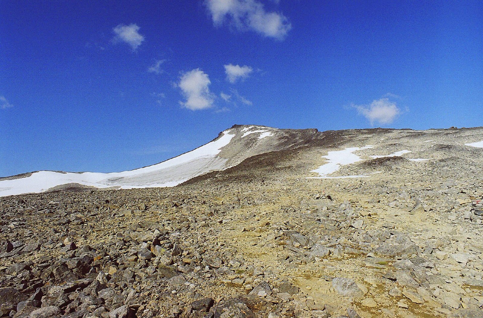
From Spiterstulen, 1,111 m, in Visdalen, the marked path climbs steeply west up the long ridge to Svellnose, 2,272 m. It goes on over stony ground and boulders to Keilhaus topp and along the summit ridge to the top of Galdhøpiggen, 2,469 m, the highest point in Norway. Return the same way.
It is 12.4 km there and back with 1,396 m of ascent; allow about 9 hours. The grade is Strenuous: nearly 1,400 m of climbing on rough, stony ground, and a long way down.
DNT Oslo og Omegn gives the season as May to August. The other way off the summit, by Juvasshytta, crosses the Styggebreen glacier; coming back the way you went up keeps off the ice. Do not set out in snow, ice or fog, and turn back if the weather closes in.
The road up Visdalen to Spiterstulen, off the Sognefjell road (Fv 55) in Bøverdalen, is a toll road run by One Park, and in summer a bus runs there twice a day. The lodge at Spiterstulen is closed from 21 September to 11 March.
Route drawn by Global Adventurer along OpenStreetMap paths (© OpenStreetMap contributors, ODbL), with figures worked out from it. Check the forecast and the ground on the day: paths change.
Good to know
- Galdhøpiggen, 2,469 m, the highest mountain in Norway
- From Spiterstulen over Svellnose and Keilhaus topp; the other way up, from Juvasshytta, crosses a glacier
- Nearly 1,400 m of climbing on stony ground and boulders: a long, hard day
- Coming back the same way avoids the glacier
Summits on the way
- Svellnose 2,272 m
- Keilhaus topp 2,355 m
- Galdhøpiggen 2,469 m
Getting there
Start: Spiterstulen. 61.62581, 8.40429
Places to stay nearby
Rooms in and around Jotunheimen: Booking.com → Expedia →
Affiliate links: if you book, Global Adventurer earns a small commission at no cost to you.
Paths change, and the weather decides the day. The line and figures come from OpenStreetMap and our own checks; take a map, check the forecast, and turn back if it isn't right.