Line © OpenStreetMap contributors (ODbL), checked by Global Adventurer.
The walk
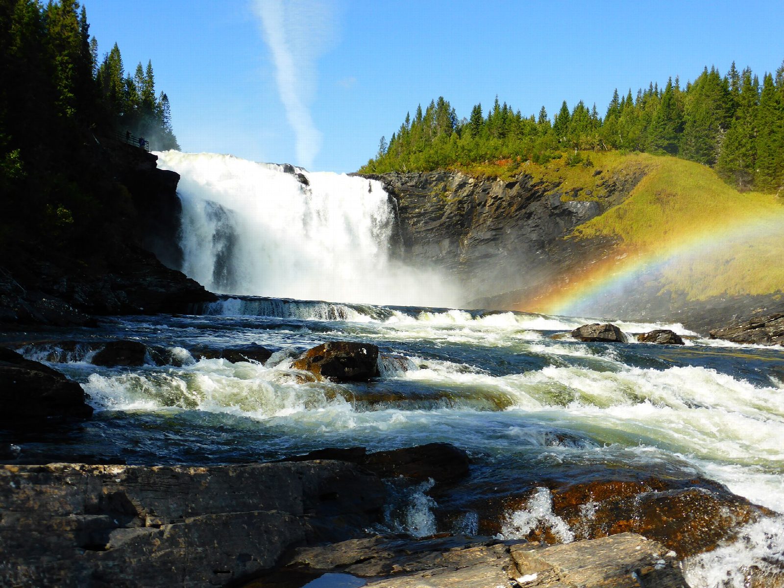
From the car park at Tännforsens turiststation two paths leave and meet again to make a loop. Take the right-hand path, which drops steeply, partly on steps, towards the foot of the falls, with viewpoints across the spray. It then climbs to the top of the falls. From there the gentler left-hand path runs back to the car park along the river above them, where the water slides towards the edge. The falls are 38 m high and 60 m wide, between the lakes Tännsjön and Öster-Noren.
It is 1.1 km round with 34 m of ascent; allow about half an hour. The grade is Easy, though the right-hand path is steep in places.
The falls are in a nature reserve: there is no camping or lighting fires, and no climbing in the spray zone. The falls can be visited at any time of year, but the walkways are not lit in winter. The café at the tourist station is open from Thursday to Sunday, 11:00 to 16:00, at present; the shop has closed until May 2027.
Parking at the tourist station costs 40 kronor for two hours, by card at the machine or by app. From Åre take the E14 west, turn off at Staa, 5 km past Duved, and follow the signs for about 6 km.
Route drawn by Global Adventurer along OpenStreetMap paths (© OpenStreetMap contributors, ODbL), with figures worked out from it. Check the forecast and the ground on the day: paths change.
Good to know
- Tännforsen, 38 m high and 60 m wide, is one of the largest waterfalls in Sweden, between the lakes Tännsjön and Öster-Noren
- A loop of about 1 km on paths and steps reaches both the foot and the top of the falls
- The falls are in a nature reserve: no camping or fires, and no climbing in the spray zone
- Parking at the tourist station costs 40 kronor for two hours
Getting there
Start: Tännforsen car park · Pay and display. 63.44336, 12.73901
Places to stay nearby
Rooms in and around Jämtland: Booking.com → Expedia →
Affiliate links: if you book, Global Adventurer earns a small commission at no cost to you.
Paths change, and the weather decides the day. The line and figures come from OpenStreetMap and our own checks; take a map, check the forecast, and turn back if it isn't right.