Line © OpenStreetMap contributors (ODbL), checked by Global Adventurer.
The walk
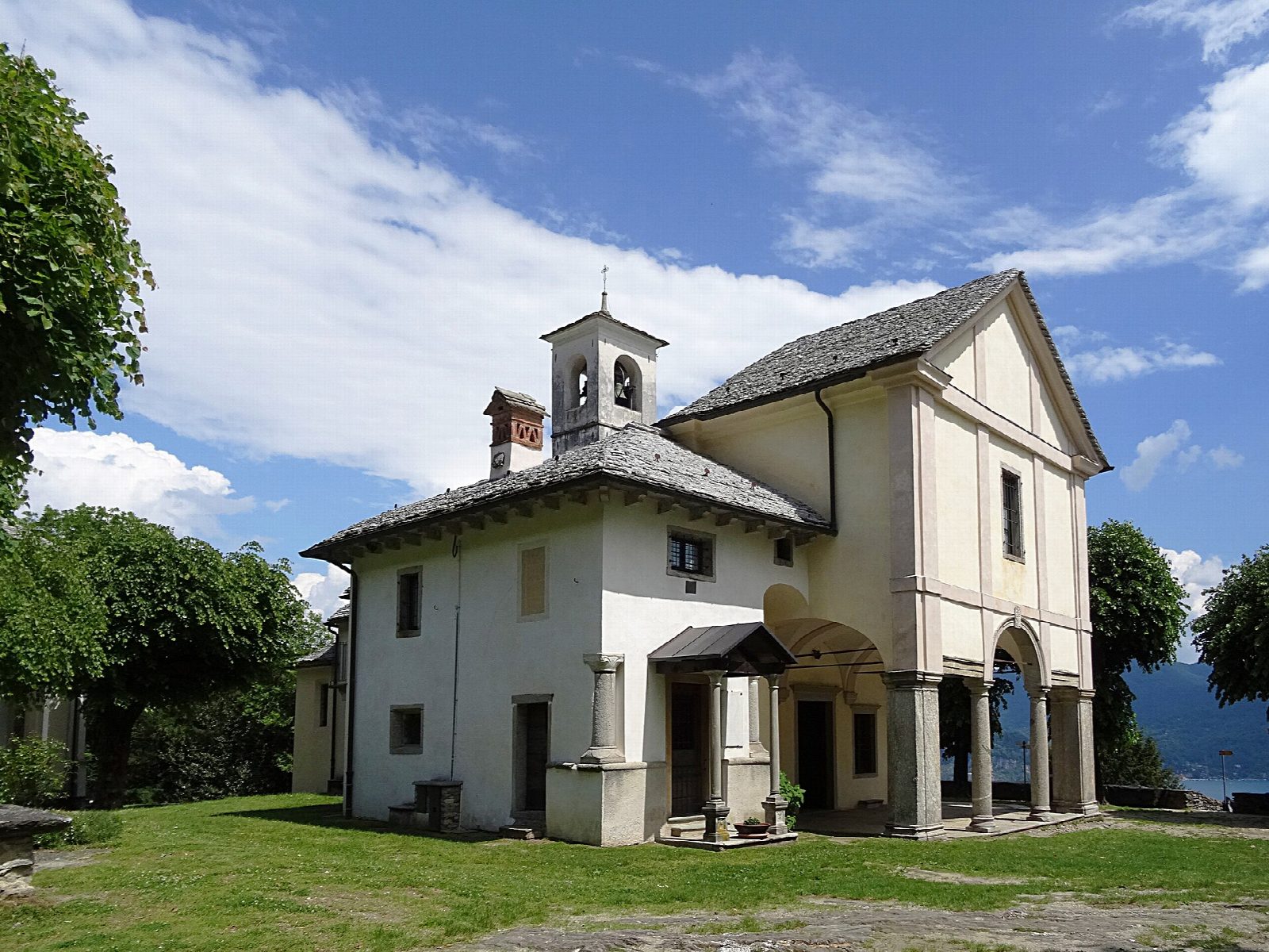
From the Piazzale della Libertà car park in Ghiffa, on the western shore of Lake Maggiore, the walk follows the lane to Ronco and takes the old path up through chestnut woods to the Sacro Monte of the Holy Trinity, at about 360 m, with its sanctuary, chapels and views over the lake. Return the same way.
It is 3.3 km there and back with 160 m of ascent; allow about 1½ hours. The grade is Easy: an old cobbled and earth path, steep in places.
The sanctuary was built between the late 1500s and 1617, and its chapels from about 1647 into the early 1700s. It is one of the nine Sacri Monti of Piedmont and Lombardy on UNESCO's World Heritage list since 2003, and stands in a nature reserve of 198 ha, set up in 1987, where chestnut woods have grown over old vine terraces. The chapels and church are closed on Mondays; in October they open from 9:30 to 18:00 (18:30 at weekends), and from November to March from 9:30 to 16:30. Motor vehicles and bicycles may not enter the historic area.
There is also parking at the Sacro Monte. The official time for the old path from Ronco is 40 minutes.
Route drawn by Global Adventurer along OpenStreetMap paths (© OpenStreetMap contributors, ODbL), with figures worked out from it. Check the forecast and the ground on the day: paths change.
Good to know
- The Sacro Monte of the Holy Trinity, one of the nine Sacri Monti of Piedmont and Lombardy on UNESCO's World Heritage list
- The sanctuary was built between the late 1500s and 1617; the chapels from about 1647 into the 1700s
- Up an old path through chestnut woods in a nature reserve of 198 ha
- The chapels and church are closed on Mondays
Getting there
Start: Ghiffa, Piazzale della Libertà car park. 45.95693, 8.61540
Places to stay nearby
Rooms in and around Ghiffa: Booking.com → Expedia →
Affiliate links: if you book, Global Adventurer earns a small commission at no cost to you.
Paths change, and the weather decides the day. The line and figures come from OpenStreetMap and our own checks; take a map, check the forecast, and turn back if it isn't right.