Line © OpenStreetMap contributors (ODbL), checked by Global Adventurer.
The walk
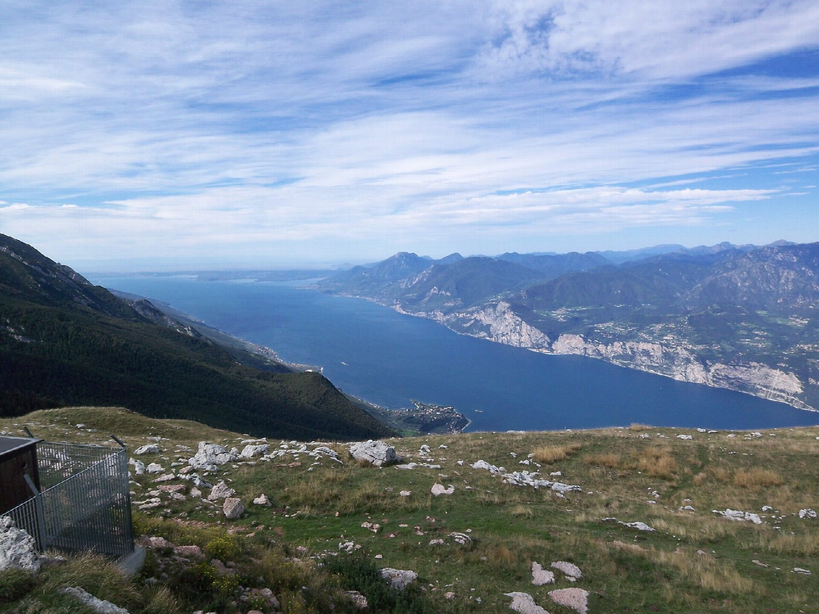
From the top station of the Malcesine cable car at Tratto Spino, 1,760 m, the path drops past the Baita dei Forti and runs south, almost level at first, along the grassy ridge of Monte Baldo. It then climbs on path 651 to the Cima delle Pozzette, 2,128 m, with Lake Garda on one side and the Adige valley on the other. Return the same way.
It is 7 km there and back with 397 m of ascent; allow about 3 hours. The grade is Easy: a good path along open grass and rock, with one steady climb.
The ridge path goes on south from the Pozzette towards Cima Valdritta and Rifugio Telegrafo, but beyond the Pozzette it has a short cable-protected section: this walk turns back before it. The former barracks at Tratto Spino guarded the old border between Italy and Austria. The cable car runs from 4 April to 1 November in 2026; from 5 October the last car up is at 16:00 and the last down at 16:45, so watch the time. Snow can come to the ridge in late autumn.
The valley station in Malcesine has an underground car park with 170 spaces. In 2026 a return ticket cost €30 (€28 online), and the upper section has rotating cabins.
Route drawn by Global Adventurer along OpenStreetMap paths (© OpenStreetMap contributors, ODbL), with figures worked out from it. Check the forecast and the ground on the day: paths change.
Good to know
- Along the long grassy ridge of Monte Baldo, with Lake Garda on one side and the Adige valley on the other
- Tratto Spino was a border post between Italy and Austria
- The full ridge path beyond the Pozzette has a cable-protected section: this walk turns back before it
- The cable car from Malcesine has rotating cabins on its upper section
Summits on the way
- Cima delle Pozzette 2,132 m · passed close by
Getting there
Start: Monte Baldo cable car top station. 45.76950, 10.86432
Places to stay nearby
Rooms in and around Italian Lakes: Booking.com → Expedia →
Affiliate links: if you book, Global Adventurer earns a small commission at no cost to you.
Paths change, and the weather decides the day. The line and figures come from OpenStreetMap and our own checks; take a map, check the forecast, and turn back if it isn't right.