Line © OpenStreetMap contributors (ODbL), checked by Global Adventurer.
The walk
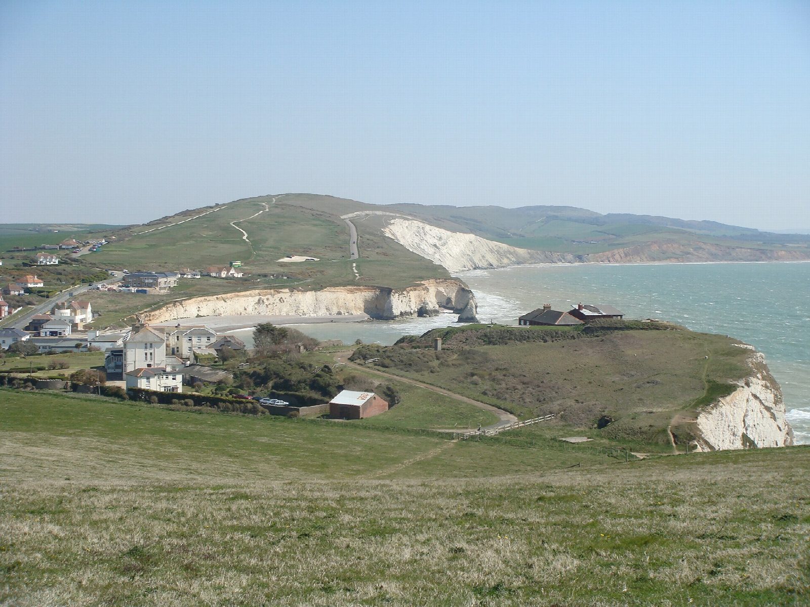
From Freshwater Bay the walk climbs steadily west on to Tennyson Down to the granite cross that remembers the poet, who lived at Farringford below and walked here daily. It follows the long chalk ridge over West High Down to the Needles Old Battery, a Victorian fort above the famous chalk stacks and their lighthouse. The way drops along the road to Alum Bay, with its cliffs of coloured sands, climbs over the heather of Headon Warren and returns east along paths and lanes at the foot of the downs to Freshwater Bay.
It is 12.5 km with 295 m of ascent; allow about 4 hours. The grade is Moderate. About a fifth is on the Needles road and quiet lanes.
The cliffs along the downs are sheer: stay well back from the edge, especially in wind. The Needles road is closed to most cars but carries a bus. The Old Battery is a National Trust site with its own opening times. Sheep graze the downs, so keep dogs on leads.
The car park at Freshwater Bay is run by Isle of Wight Council and charges a fee. There is no station near; the nearest is Lymington Pier, about 10 km away.
Route drawn by Global Adventurer along OpenStreetMap paths (© OpenStreetMap contributors, ODbL), with figures worked out from it. Check the forecast and the ground on the day: paths change.
Good to know
- Up Tennyson Down to the monument to the poet, who lived at Farringford below
- Along West High Down to the Needles Old Battery and the view of the Needles
- Down to Alum Bay and its coloured sands, then over Headon Warren
- Back along the foot of the downs to Freshwater Bay
Summits on the way
- Tennyson Down 147 m · passed close by
- West High Down 141 m · passed close by
- Headon Hill 120 m · passed close by
Getting there
Start: Freshwater Bay car park · Pay and display. 50.67062, -1.51067
Places to stay nearby
Rooms in and around Lymington Pier: Booking.com → Expedia →
Affiliate links: if you book, Global Adventurer earns a small commission at no cost to you.
Paths change, and the weather decides the day. The line and figures come from OpenStreetMap and our own checks; take a map, check the forecast, and turn back if it isn't right.