Line © OpenStreetMap contributors (ODbL), checked by Global Adventurer.
The walk
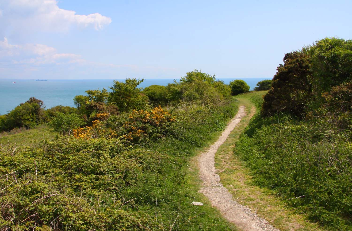
From Brading station the walk crosses Brading Marshes on the old sea wall and follows the Bembridge Trail through farmland to Bembridge Windmill, the last surviving windmill on the Isle of Wight. It heads south past Steyne Wood to the cliffs above Whitecliff Bay and climbs on to Culver Down, with the Yarborough Monument and an old coastal battery. The way back follows the ridge west over Bembridge Down and drops through Yaverland to the marshes and Brading.
It is 11.5 km with 161 m of ascent; allow about 3½ hours. The grade is Moderate. Most of it is on field and cliff paths.
The chalk cliffs at Culver are high and crumbling: keep away from the edge. The marsh paths can be wet in winter. Sheep and cattle graze Culver Down, so keep dogs on leads. The windmill is a National Trust site with its own opening times.
The walk starts at Brading station on the Island Line from Ryde Pier; there are small car parks in Brading. Brading station is at the start.
Route drawn by Global Adventurer along OpenStreetMap paths (© OpenStreetMap contributors, ODbL), with figures worked out from it. Check the forecast and the ground on the day: paths change.
Good to know
- Across Brading Marshes on the old sea wall towards Bembridge
- Bembridge Windmill, the last surviving windmill on the Isle of Wight
- Along the cliffs to Culver Down and the Yarborough Monument
- Back over Bembridge Down and through Yaverland
Summits on the way
- Bembridge Down 100 m · passed close by
Getting there
Start: Brading station. 50.67852, -1.13868
By train: Brading station is 0.0 km from the start.
Places to stay nearby
Rooms in and around Brading: Booking.com → Expedia →
Affiliate links: if you book, Global Adventurer earns a small commission at no cost to you.
Paths change, and the weather decides the day. The line and figures come from OpenStreetMap and our own checks; take a map, check the forecast, and turn back if it isn't right.