Line © OpenStreetMap contributors (ODbL), checked by Global Adventurer.
The walk
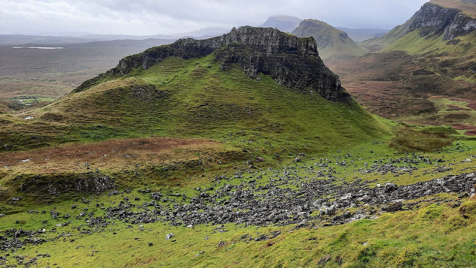
The walk starts from the car park at the top of the minor road between Staffin and Uig. A path signed for Flodigarry runs north across the steep slopes below the cliffs, with one rocky gully to cross with care, and climbs to the gap between the main cliffs and the Prison. It continues under the Needle and past more pinnacles, crosses a stile, and at a fork takes the left branch over a saddle and up a steep, eroded path to the ridge. The return follows the clifftop south above the landslip, past Meall na Suiramach, and down to the road.
It is 6.9 km with 378 m of ascent; allow about 3 hours. It is graded Moderate for the rough, rocky path, with a slight scramble at the gully.
The clifftop return is exposed to the weather; in mist keep well back from the edge. The Quiraing is a huge landslip on the eastern side of the Trotternish ridge. The first part of the walk is often very busy.
The car park charges; do not park on the bends or in passing places. There is no station on Skye.
Route drawn by Global Adventurer along OpenStreetMap paths (© OpenStreetMap contributors, ODbL), with figures worked out from it. Check the forecast and the ground on the day: paths change.
Good to know
- The Quiraing is a huge landslip on the Trotternish ridge, with the Prison, the Needle and the Table
- The clifftop return is exposed to the weather
Summits on the way
- The Prison 365 m · passed close by
- Quiraing South Pinnacle 437 m · passed close by
Getting there
Start: Quiraing car park · Pay and display. 57.62822, -6.29152
Places to stay nearby
Rooms in and around Isle of Skye: Booking.com → Expedia →
Affiliate links: if you book, Global Adventurer earns a small commission at no cost to you.
Paths change, and the weather decides the day. The line and figures come from OpenStreetMap and our own checks; take a map, check the forecast, and turn back if it isn't right.

