Line © OpenStreetMap contributors (ODbL), checked by Global Adventurer.
The walk
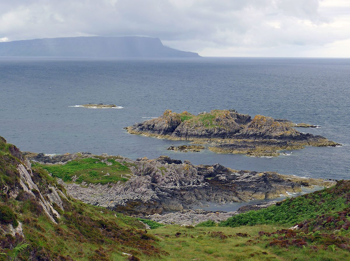
The walk starts from the car park at the end of the road through the Aird of Sleat, beyond the church. A track climbs the hillside, winds across open moor and drops steeply beside a stream towards a few houses on the coast, with views out to Rum. Just after a wooden bridge a rocky path turns left, signed for the Point of Sleat, and crosses boggy moorland to a junction above Camas Daraich. The route climbs over a rocky hill, crosses heather moor and goes down steps to a grassy strip between two bays, then over a last knoll to the lighthouse. The return is the same way.
It is 8.3 km with 266 m of ascent; allow about 2¾ hours. The grade is Easy: a rough track and moorland path, with one steep hill each way.
The path beyond the houses is rough and boggy in places. Camas Daraich, one of Skye's few fine sandy beaches, is a short detour from the junction. The automatic light at the Point looks over to Mallaig, Ardnamurchan, Eigg and Rum, and is a good place to watch for dolphins and gannets.
Parking is free. Mallaig, across the Sound of Sleat, has the nearest station, reached by ferry from Armadale.
Route drawn by Global Adventurer along OpenStreetMap paths (© OpenStreetMap contributors, ODbL), with figures worked out from it. Check the forecast and the ground on the day: paths change.
Good to know
- Skye's most southerly point, with an automatic lighthouse
- Camas Daraich, a sandy bay, lies just off the path
Getting there
Start: Aird of Sleat car park · Free parking. 57.03463, -5.97557
Places to stay nearby
Rooms in and around Mallaig: Booking.com → Expedia →
Affiliate links: if you book, Global Adventurer earns a small commission at no cost to you.
Paths change, and the weather decides the day. The line and figures come from OpenStreetMap and our own checks; take a map, check the forecast, and turn back if it isn't right.
