Line © OpenStreetMap contributors (ODbL), checked by Global Adventurer.
The walk
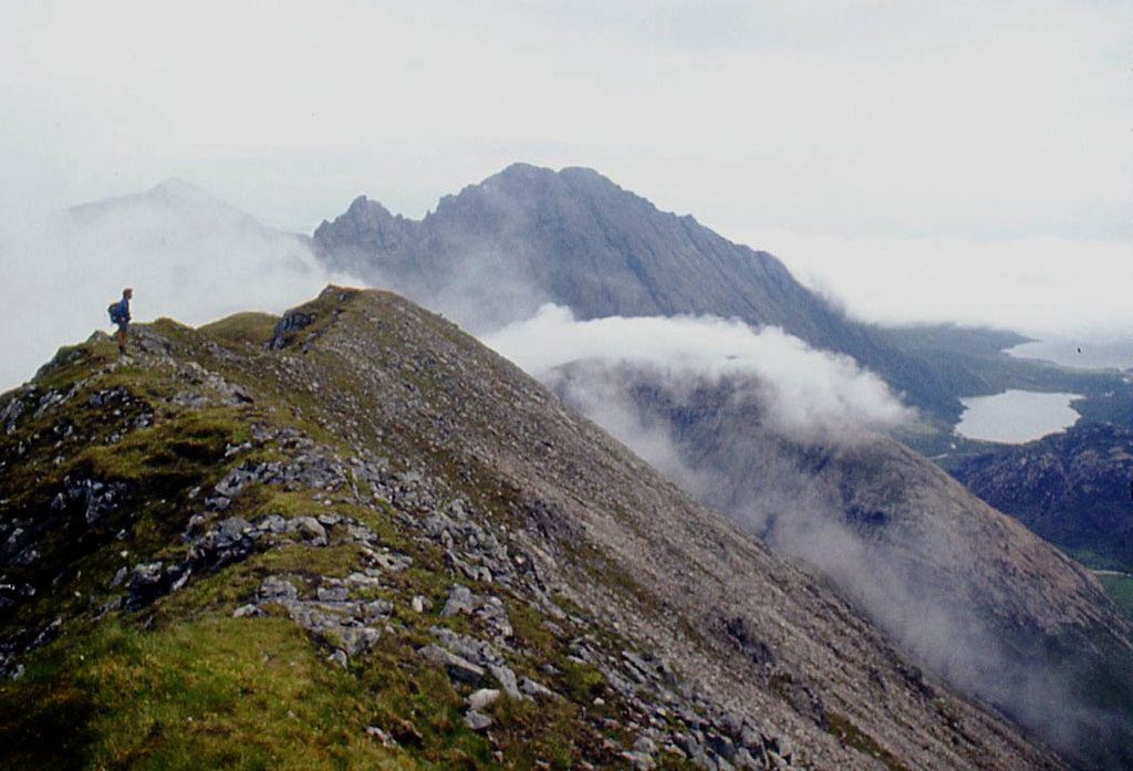
The walk starts from the car park at Sligachan, on the far side of the river from the hotel. A path passes the statue of Norman Collie and John Mackenzie and heads up Glen Sligachan, with Sgùrr nan Gillean on the right and the Red Hills on the left. At the Allt na Measarroch the route leaves the main path and follows the burn upstream on a boggy path towards the bealach between Marsco and the other Red Hills. As the glen narrows the path climbs steep grass slopes to the ridge, then follows the narrowing ridge to the summit. The return is the same way.
It is 14.3 km with 747 m of ascent; allow about 5¾ hours. The grade is Hard: a long day, with very steep grass on the final climb.
The path up the Allt na Measarroch is eroded and very boggy at first. The last slope to the ridge is steep and slippery when wet, and the summit ridge is narrow. Marsco has less scree than its neighbours. The land east of Glen Sligachan is managed by the John Muir Trust, with no stalking restrictions.
Parking is free. There is no station on Skye.
Route drawn by Global Adventurer along OpenStreetMap paths (© OpenStreetMap contributors, ODbL), with figures worked out from it. Check the forecast and the ground on the day: paths change.
Good to know
- Marsco is a Graham among the Red Hills of Skye
- The walk starts by the statue of Norman Collie and John Mackenzie at Sligachan
Summits on the way
- Marsco 737 m
Getting there
Start: Sligachan car park · Free parking. 57.29042, -6.17105
Places to stay nearby
Rooms in and around Isle of Skye: Booking.com → Expedia →
Affiliate links: if you book, Global Adventurer earns a small commission at no cost to you.
Paths change, and the weather decides the day. The line and figures come from OpenStreetMap and our own checks; take a map, check the forecast, and turn back if it isn't right.