Line © OpenStreetMap contributors (ODbL), checked by Global Adventurer.
The walk
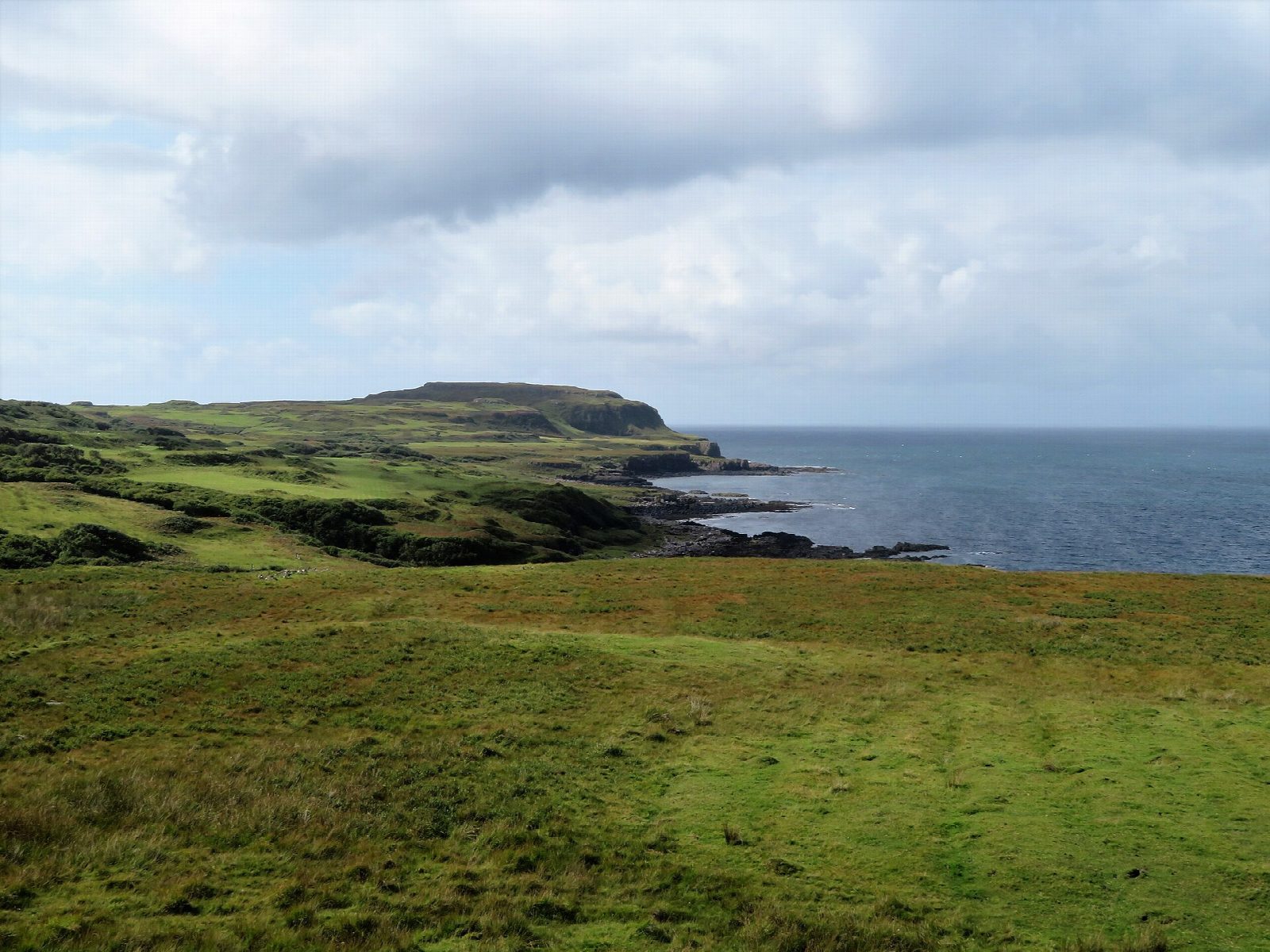
From the old quarry on the B8073 near Ensay, walk along the track signed for Treshnish and Haunn, past the old schoolhouse and the Treshnish farm buildings and on across the moor. Just before the cottages at Haunn, a signed path bypasses them and drops to the coast below the remains of an Iron Age dun. The way follows the grassy raised beach south along the foot of the cliffs and round several inlets to the gully that leads down to the Whisky Cave. Beyond, the path climbs inland to the ruins of Crackaig and crosses the moor to a track and the road, which leads back north to the start.
It is 10.9 km with 216 m of ascent; allow about 3¼ hours. The grade is Moderate: a good track to begin with, then rough going along the coast on faint paths.
The paths are faint in places, the descent to the cave is steep and slippery, and the moor on the way back is very boggy, according to Walkhighlands. The cave held a large illicit still. Dogs should be on leads during the lambing and bird-nesting seasons, as local signs request.
Park in the old quarry on the B8073. The bus from Tobermory to Calgary passes the start, except on Saturday afternoons and Sundays.
Route drawn by Global Adventurer along OpenStreetMap paths (© OpenStreetMap contributors, ODbL), with figures worked out from it. Check the forecast and the ground on the day: paths change.
Good to know
- A grassy raised beach below the cliffs, looking out to the Treshnish Isles and the Dutchman's Cap
- The Whisky Cave was used for illicit distilling; the stone foundations of the still survive inside
- Crackaig is said to have been emptied by typhoid rather than the Clearances
Getting there
Start: Old quarry parking on the B8073 near Ensay. 56.55428, -6.29597
Places to stay nearby
Rooms in and around Isle of Mull: Booking.com → Expedia →
Affiliate links: if you book, Global Adventurer earns a small commission at no cost to you.
Paths change, and the weather decides the day. The line and figures come from OpenStreetMap and our own checks; take a map, check the forecast, and turn back if it isn't right.