Line © OpenStreetMap contributors (ODbL), checked by Global Adventurer.
The walk
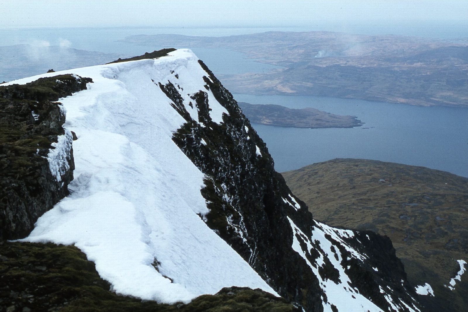
The walk starts from the roadside at Dhiseig on the B8035, by the burn, and goes out and back. It climbs from the shore of Loch na Keal, almost at sea level, up open hillside and onto the stony upper slopes to the summit of Ben More (966 m). Most of the way is on path, with a short stretch of road. Ben More is the only island Munro outside Skye.
It is 9.7 km with 994 m of ascent; allow about 6½ hours. The grade is Hard, and it is a long, steady pull.
Rock near the summit is magnetic and can upset a compass, so in mist navigate carefully with the map and don't rely on a bearing alone near the top; check the forecast and use your judgement. Weather comes in quickly off the Atlantic, and in winter the upper slopes can hold snow and ice. There are no mapped water sources on the route.
There is no car park at the start; park with care by the roadside near Dhiseig, leaving passing places clear. Mull is reached by ferry, most often from Oban to Craignure.
Route drawn by Global Adventurer along OpenStreetMap paths (© OpenStreetMap contributors, ODbL), with figures worked out from it. Check the forecast and the ground on the day: paths change.
Good to know
- The only island Munro outside Skye
- Climbs straight from the shore of Loch na Keal
- Magnetic rock near the summit can upset compasses
Summits on the way
- Ben More 966 m
Getting there
Start: Dhiseig, B8035 by the burn. 56.44850, -6.06900
Places to stay nearby
Rooms in and around Dhiseig: Booking.com → Expedia →
Affiliate links: if you book, Global Adventurer earns a small commission at no cost to you.
Paths change, and the weather decides the day. The line and figures come from OpenStreetMap and our own checks; take a map, check the forecast, and turn back if it isn't right.